Where I've Been


View Jeb's Journeys in a larger map

Tuesday, December 30, 2014

Bearhead Mountain: The return of aDam 2014-12-28


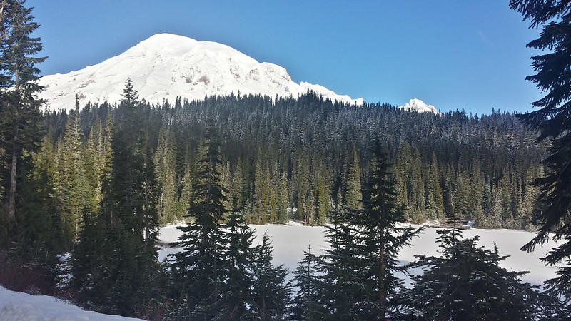
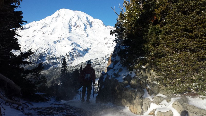
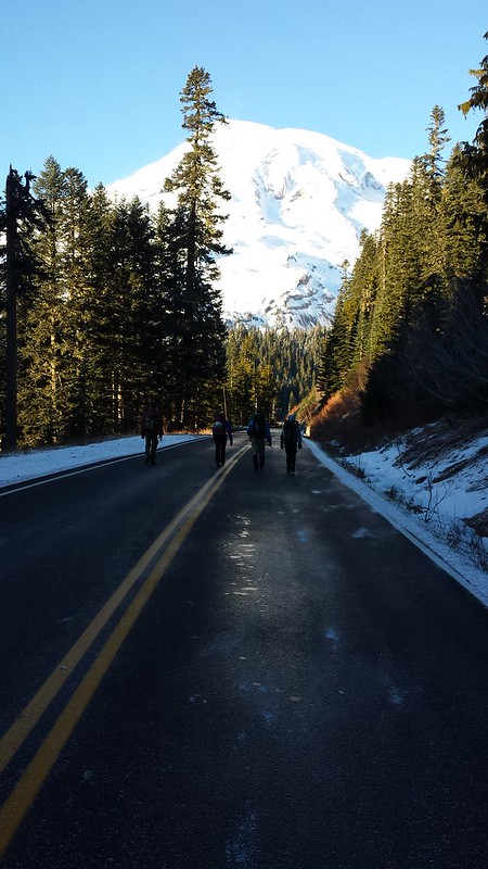
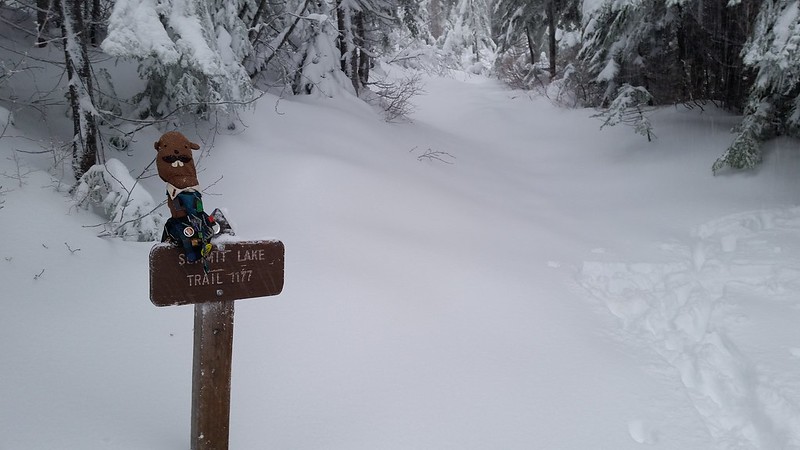
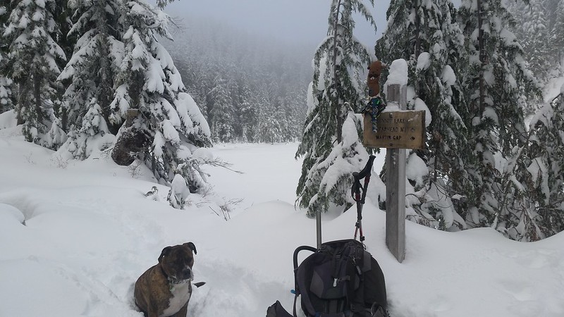
aDam is back! He joined me and a few friends on a trip up Bearhead Mountain last weekend. Snow levels were similar to my first attempt on this peak, but this time it was a few feet of fresh powder all the way to the top rather than the springtime snow we experienced in March. Nellie's car stopped around 3500' on the road just after light rain turned to snow. Colin dropped me off with Maverick and some gear near the trailhead and ferried the rest of the group back in his jeep.
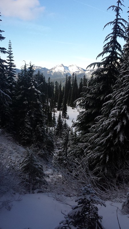
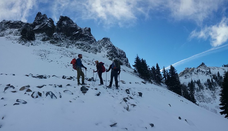
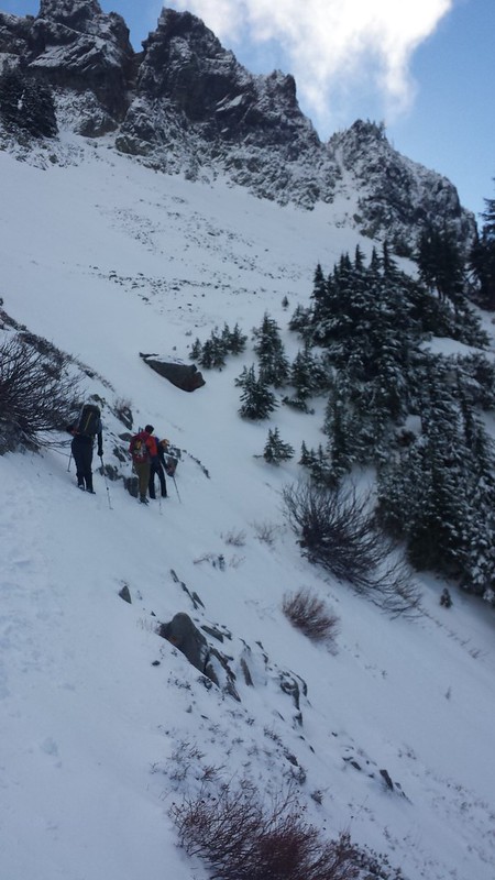
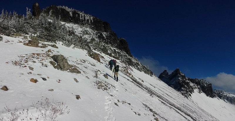
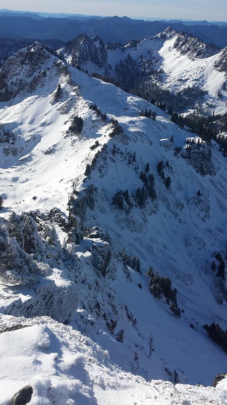
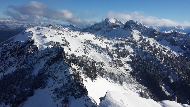
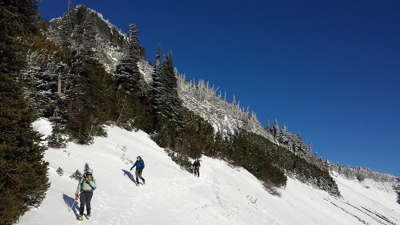
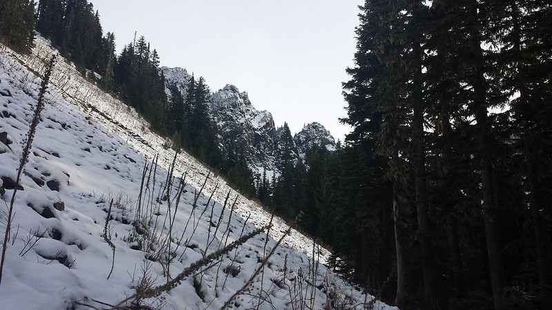
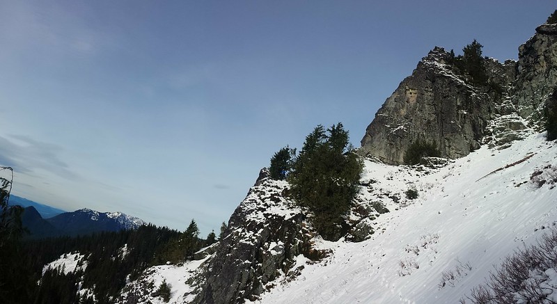
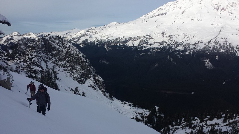
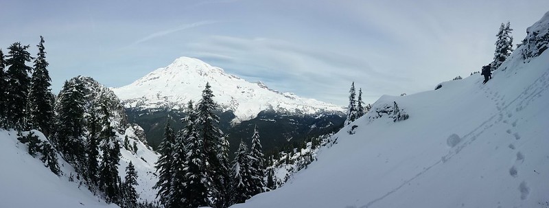
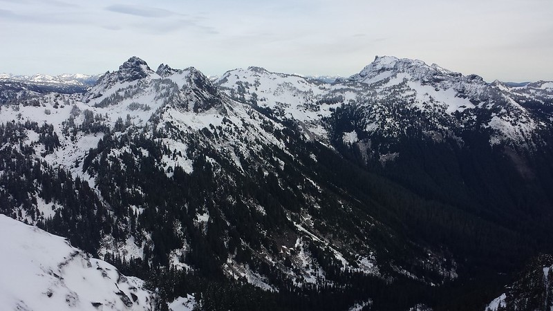
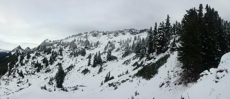
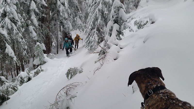
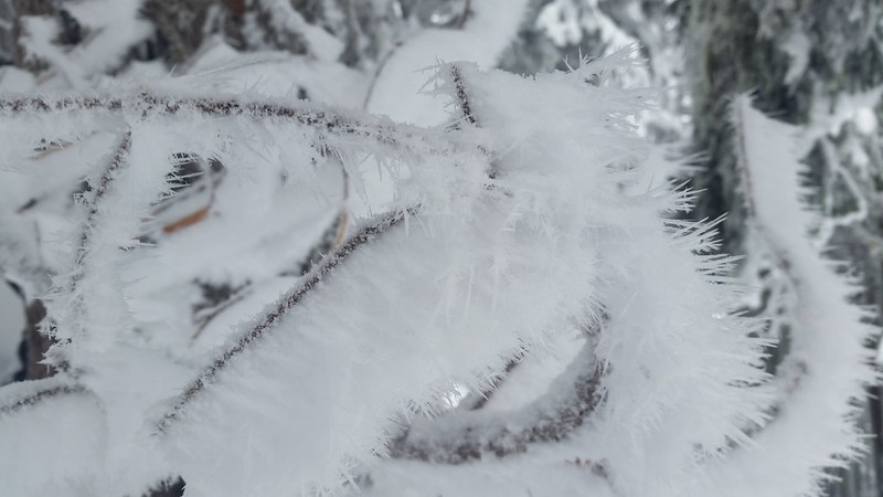
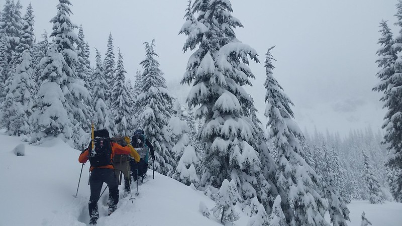
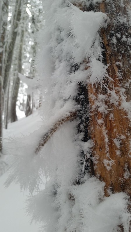
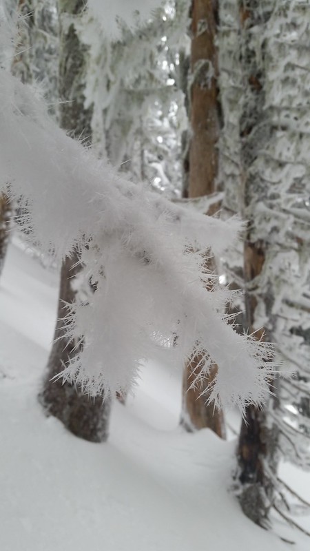
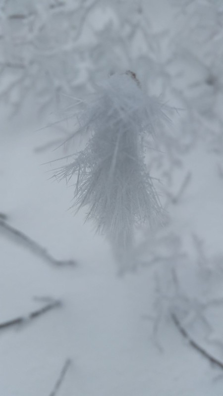
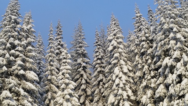
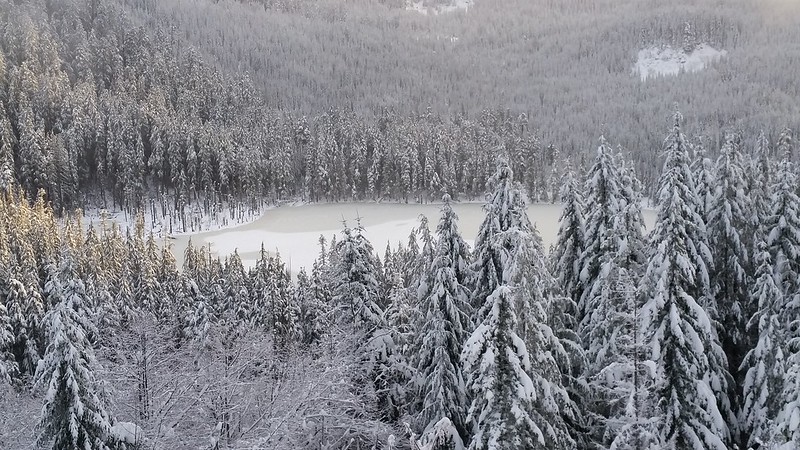
I started slowly up the trail to stay warm, sinking at least 6 inches with each step. Everyone else caught up below Twin Lake and we took turns breaking trail for the mile-long traverse. Much of the bear grass and branches were covered in newly-formed hoar frost. As we reached the SE ridge, the slope mellowed and the trail disappeared into smooth powder.

20141228_085235 20141228_094623
20141228_105831 20141228_113320
20141228_105324 20141228_112851

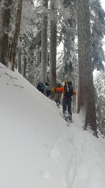
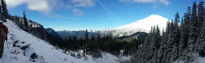
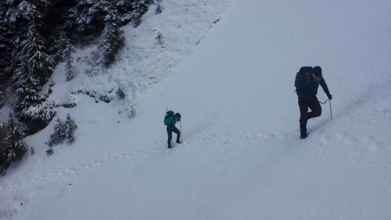
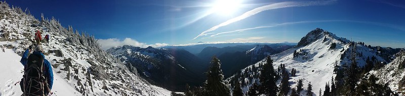
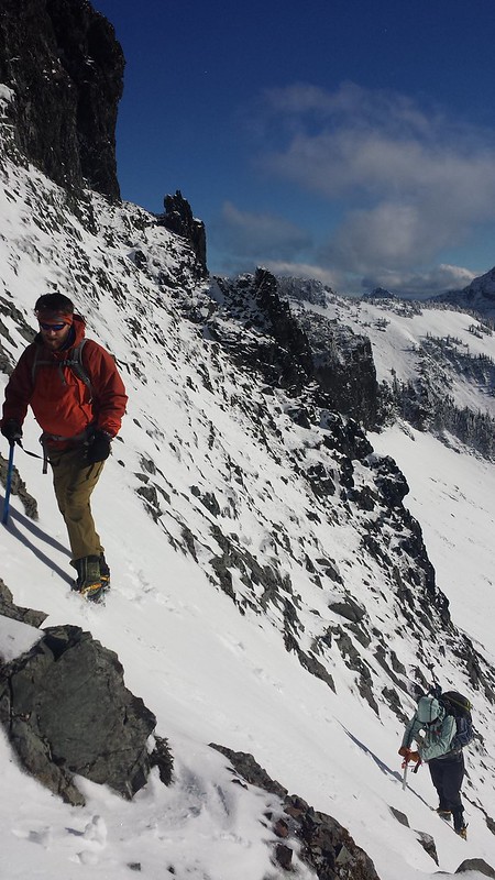
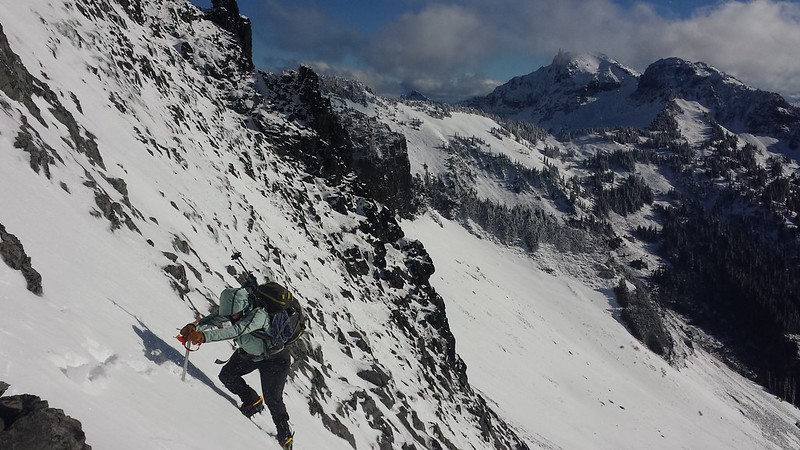
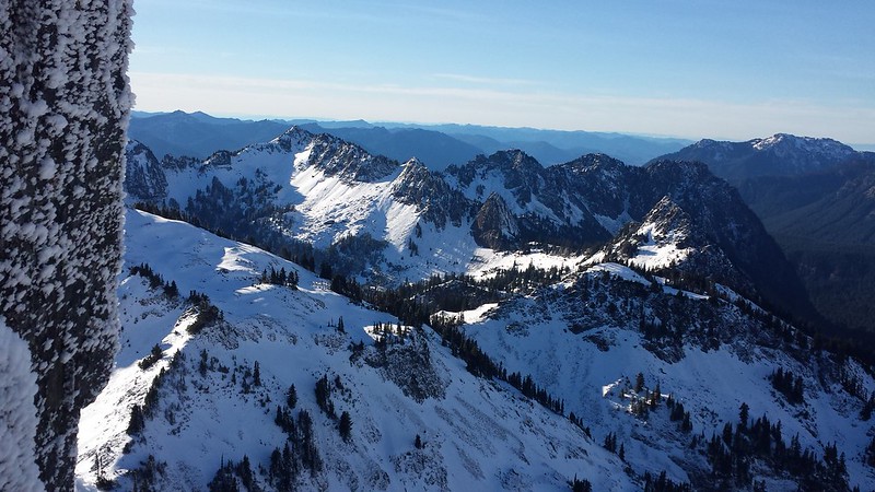
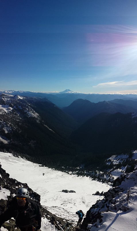
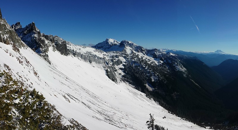
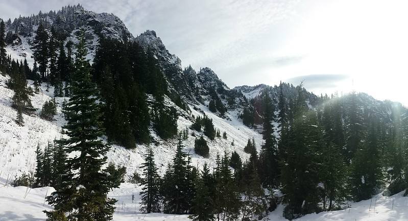
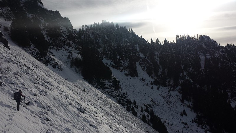
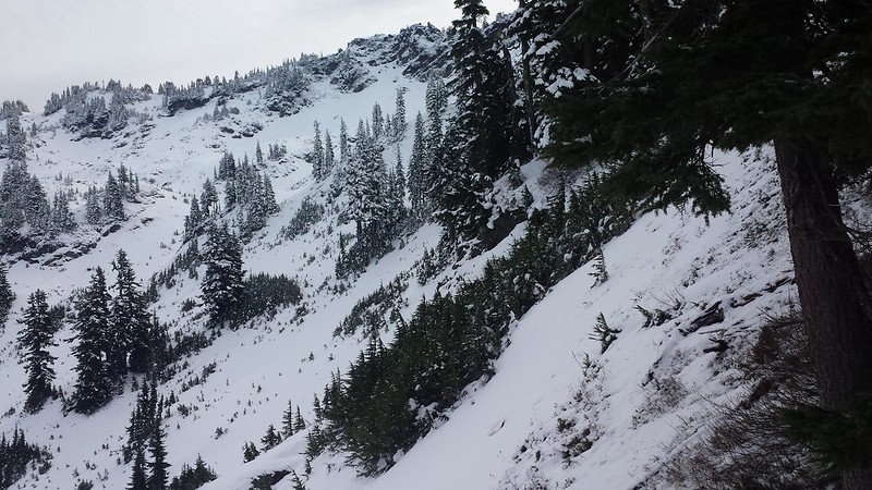
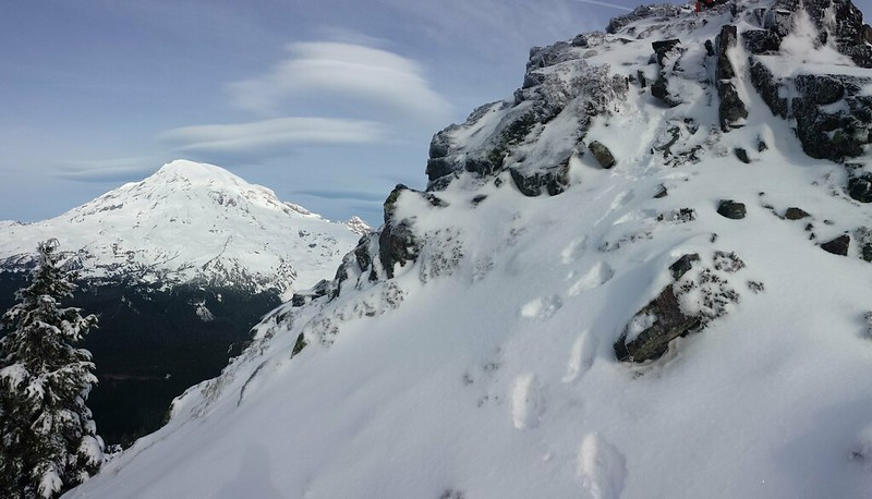
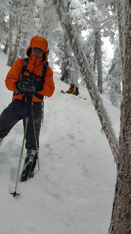
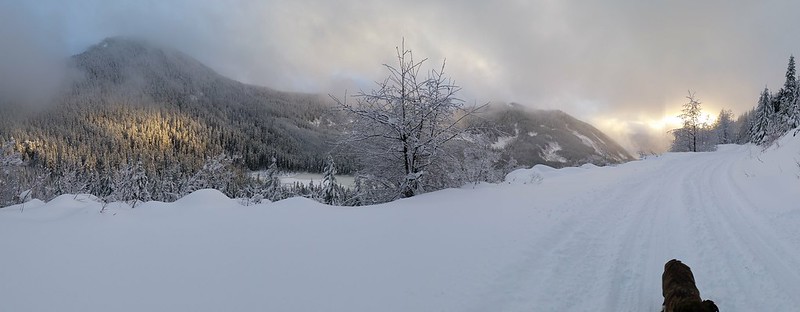
The snowfall stopped around halfway up the ridge, and we got a few brief glimpses of blue sky. Breaking trail uphill became more challenging with every step. The final 400 feet took us an hour to climb. We experienced some "whoomping" and found a few fractures in the snowpack, and had a quick safety meeting to insure that everyone felt comfortable continuing. We plotted a route through the trees, keeping a safe distance from the steeper slopes to the east.

20141228_114911 20141228_121150

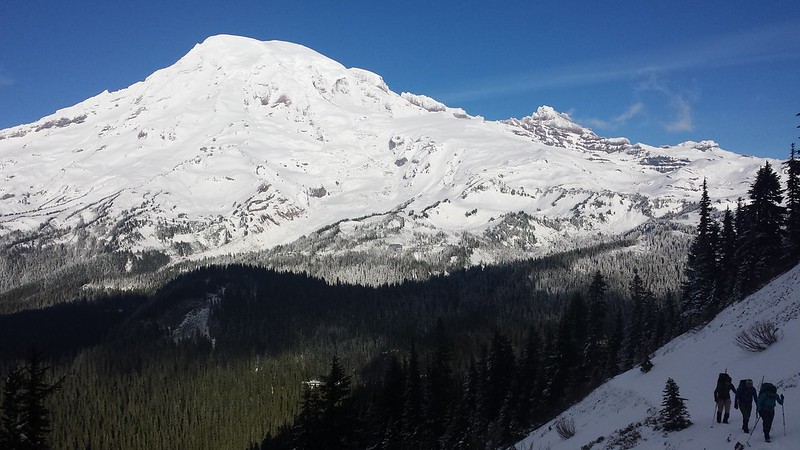
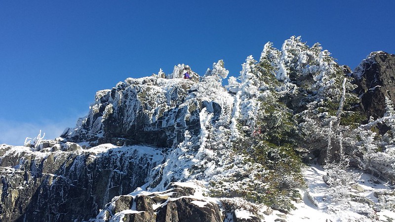
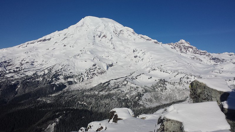
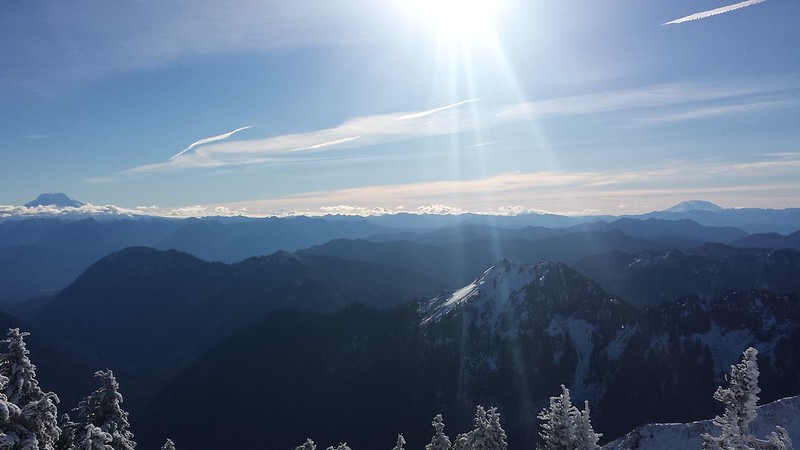
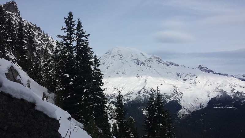
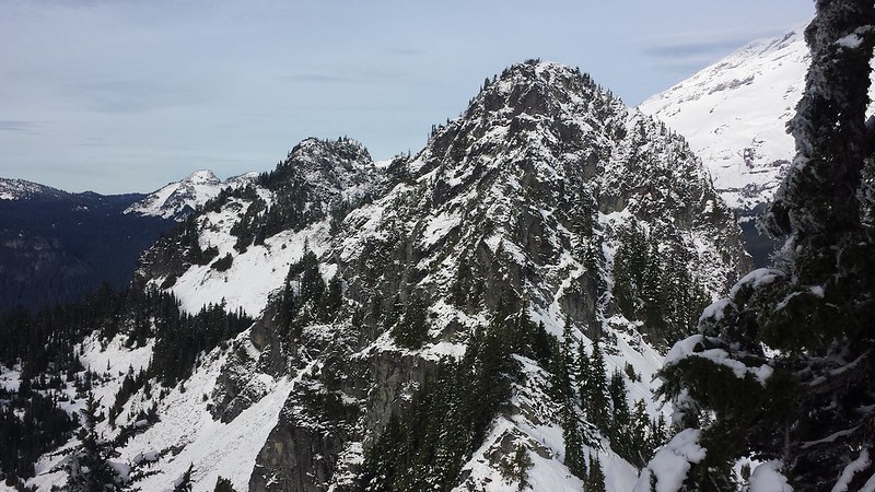
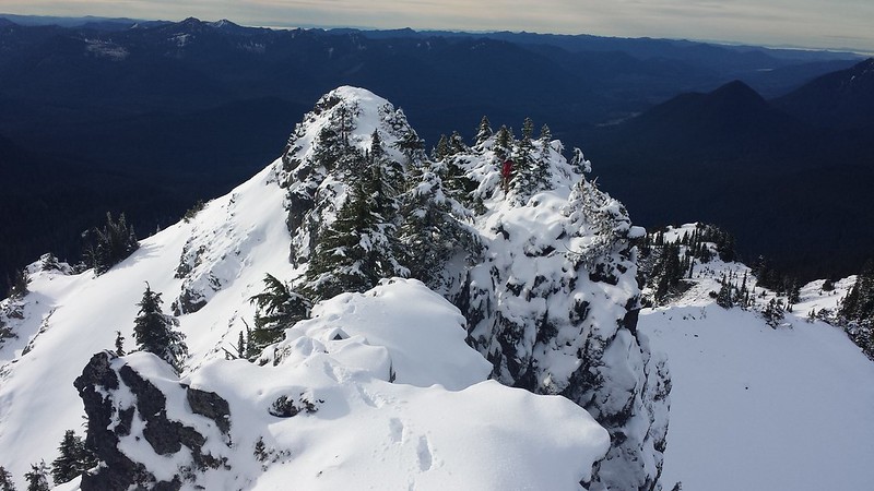
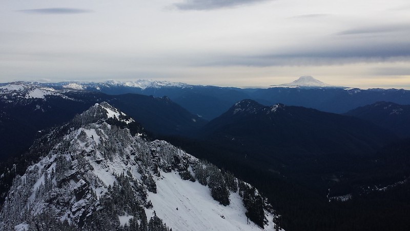
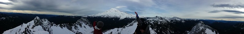
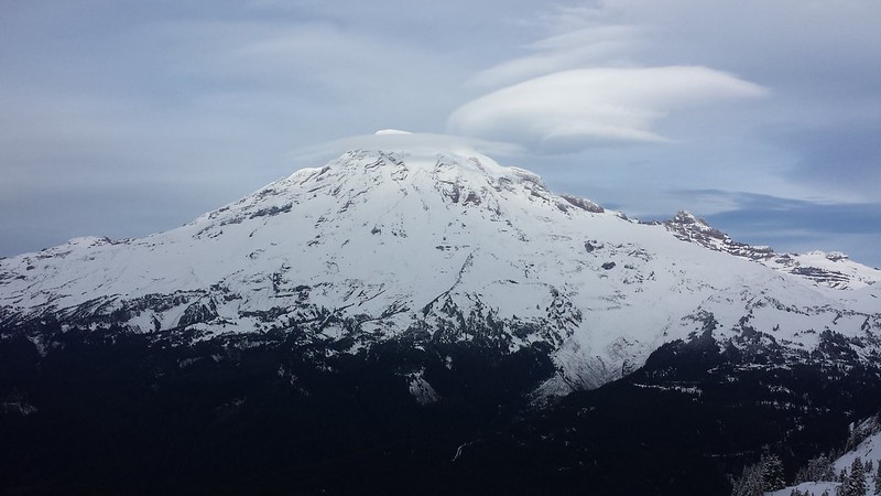
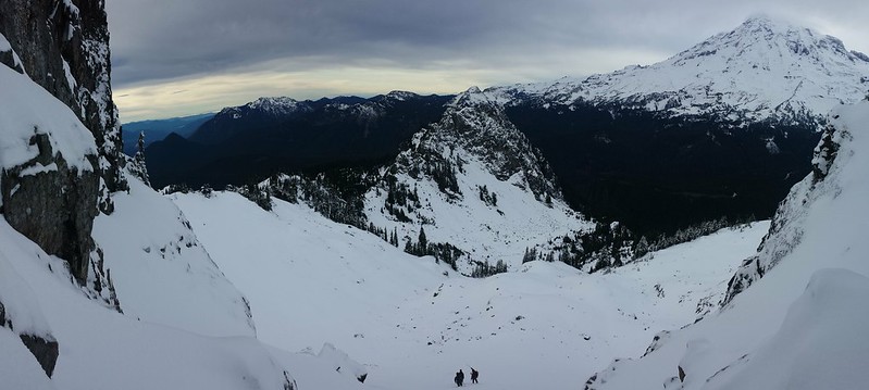
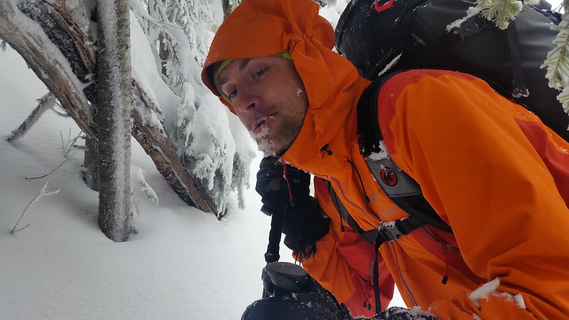
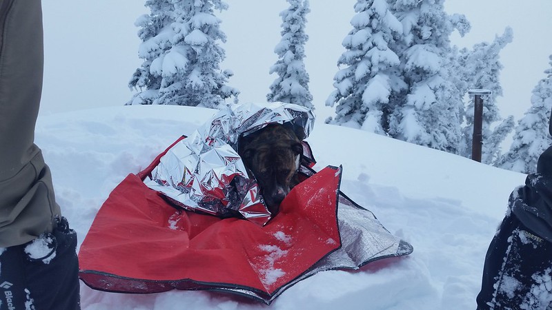
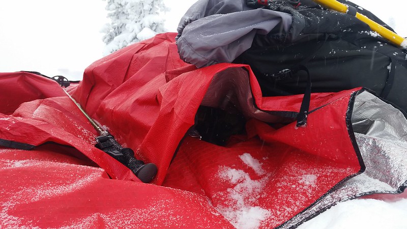
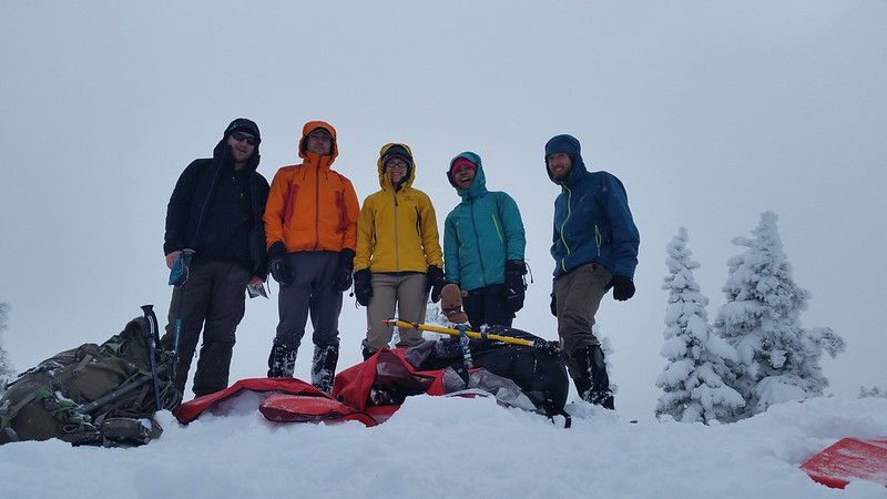
There was very little wind at the top, but it was still pretty cold. Maverick was not happy to be stopped, so we built him a dog cave out of emergency blankets. We ate lunch on the summit, looking down at the spot where Colin and I turned back with our Mountaineers group in March.

20141228_122339 20141228_133042
20141228_134436 20141228_134604
20141228_135404

I cannot describe how great it felt to fly down at high speed after such a brutally slow ascent. We cut most of our switchbacks, alternating between plunge-stepping and a standing glissade back to the traverse. Colin and I reached the trailhead quite a bit before the rest of the group so I continued on with Maverick towards Nellie's car, accompanied by the sound of gunshots and occasional sunshine.

20141228_142451 20141228_142525 20141228_142609
20141228_143120 20141228_151209
20141228_153820 20141228_155122
20141228_155303

9 miles round trip 1800' gain

Wednesday, December 17, 2014

2014-12-14 Pinnacle Peak


We hoped to make an earlier start than last week to allow plenty of daylight for The Castle and maybe a few minor peaks, but alas, the gate at Longmire was to remain locked until 9 am. We left the Narada Falls lot 9:45 and climbed icy talus up to Stevens Canyon Road with a pair who said they were heading for Unicorn Peak. Tahoma was fully lit up by late morning sun when we reached Reflection Lakes and began up the trail. Near the saddle we crossed a few short-but-steep snowfields with substantial exposure. About a foot of workable snow obscured most of the trail on the shady side of the ridge.

20141214_102255_Richtone(HDR) 20141214_104916
20141214_105615
20141214_110359 20141214_111549
20141214_110844 20141214_111220

As indicated by fast-moving clouds above, the wind was pretty intense at the saddle and for most of our stay on the sunny south face. Trekking poles were exchanged for ice axes as we began the mixed scramble above the saddle. Closer to the top most of the rock was poking out of the snow, but there was still enough ice for crampons to remain necessary. For the second time in as many weeks I was in position to view Mount Hood sitting in the distance between Adams and St Helens. I would say that our route was always within class 3 territory, however a fall could have potentially resulted in a 2000' tumble into the valley below.

20141214_115315
20141214_120225 20141214_121218
20141214_121236 20141214_122349

Near the top we reached a small pillar at the edge of an overhang to the north, a potential BASE exit point? From there the going only got easier. The summit had plenty of room for the group, but heavy wind pushed us down a few feet to a sunny spot for lunch. The Castle and Unicorn Peak emerged from the clouds as we ate.

20141214_122909 20141214_122926
20141214_123927 20141214_125145

Time was getting short, so we canceled plans for the traverse to The Castle and began our descent, hoping to be able to hit Plumber Peak on the way out. We rappelled from near the pillar and made it back to the saddle with an hour and a half left until the park gate would be closed. As much as I would have loved to get in another summit, the wise choice was to play it safe. We followed Paradise Road back to the cars to avoid the still icy talus above Narada Falls.

20141214_133025 20141214_133031
20141214_133217 20141214_133229
20141214_133719 20141214_135423
20141214_142217 20141214_142228
20141214_142628_Richtone(HDR) 20141214_143321
20141214_151454_Richtone(HDR) 20141214_152302(0)

5.5 miles 2200' gain

Wednesday, December 10, 2014

2014-10-7 Wahpenayo Peak


We started out from the Eagle Peak trailhead behind Longmire at 7:30. Both vehicles managed to miss the small sign on the way in, which is less than 100 yards West of the bridge. The trail was in great shape with only one downed tree just before the meadow. Snow appeared on the trail around 4500', and ranged from 6 inches deep in the meadow to a few feet near the top. We left the trail at the right spot but ascended too early through steep terrain and often thick vegetation, emerging from the trees in the upper meadow below the south face of Eagle and Chutlah.

20141207_093004 20141207_103615 20141207_104515

We donned crampons and made a high traverse to the saddle across bear grass and scree covered with a few inches of snow. From the saddle the mostly open north slopes looked navigable but we opted to travel via ridge-top. There was just enough snow cover to provide a route-finding challenge, but a few more feet would have been nice. Tahoma dominated the sky to the north while the southern horizon provided a rare view of both Mount Adams, Hood and St. Helens. Dozens of people could be seen working their way up (or down) the Muir snowfield in the distance.

20141207_104826 20141207_110446
20141207_112122 20141207_112226
20141207_114217 20141207_122919
20141207_120620

A short exposed scramble over icy rock brought us to the false summit. Cliffs on the north side dropped quickly off to the slopes below. Getting to the true summit required crawling under and around a few burly trees and dropping down to the right (south), followed by a couple of exposed moves. At this point I was glad that James had suggested we bring rope, as we likely would have turned back without it. I made a quick search for a register with no luck, and looked around for a less exposed descent route. Lenticular clouds descended onto Tahoma as we lunched.

20141207_124236 20141207_130341
20141207_131539 20141207_131544
20141207_131633

After a snack and pictures we decided to rappel down a tight gully to the west with a BFT for an anchor. We made it quickly back to the saddle, but without enough daylight left to attempt Eagle Peak or Chutlah. We dropped further down into the meadow before heading back into the trees, which made for a much easier return to the trail. We just barely made it back to the cars without headlamps. Despite perfect climbing weather, we did not see another soul all day.

20141207_132547
20141207_135733 20141207_140351
20141207_140710
20141207_140826 20141207_140922
20141207_141852
20141207_145145

~4500' elevation gain 7 miles round trip