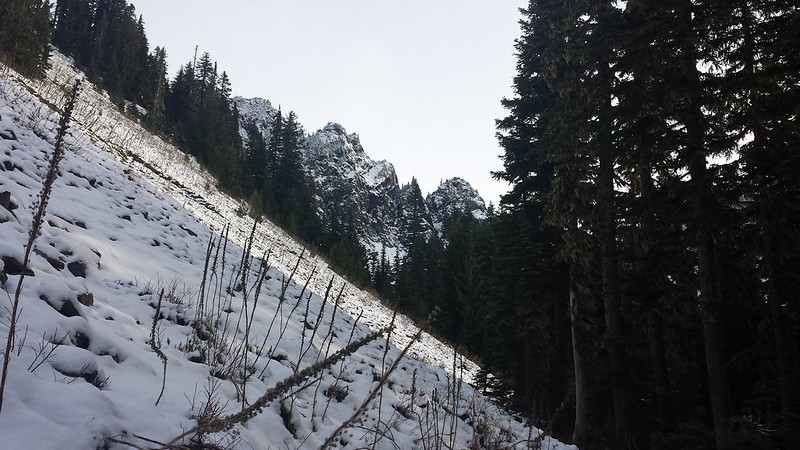
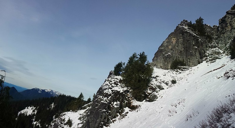
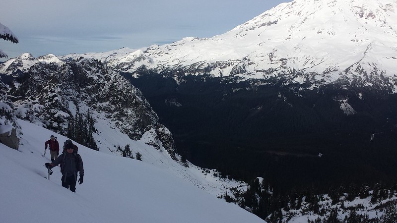
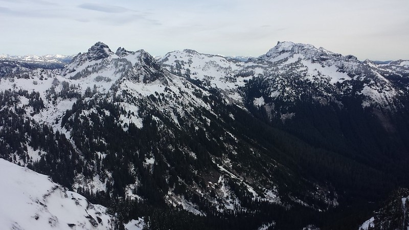
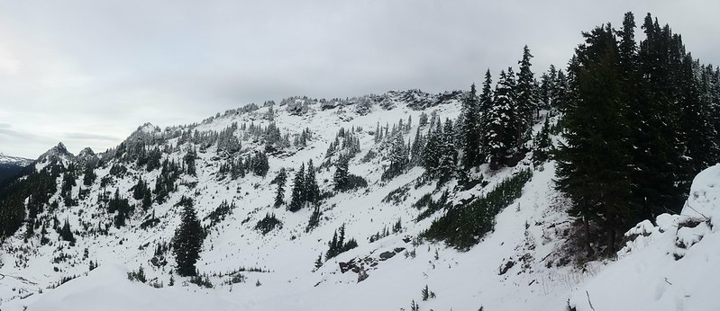
We started out from the Eagle Peak trailhead behind Longmire at 7:30. Both vehicles managed to miss the small sign on the way in, which is less than 100 yards West of the bridge. The trail was in great shape with only one downed tree just before the meadow. Snow appeared on the trail around 4500', and ranged from 6 inches deep in the meadow to a few feet near the top. We left the trail at the right spot but ascended too early through steep terrain and often thick vegetation, emerging from the trees in the upper meadow below the south face of Eagle and Chutlah.
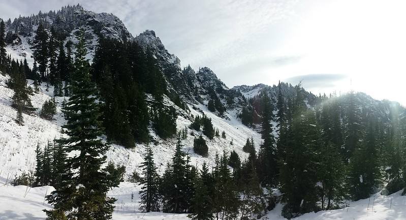
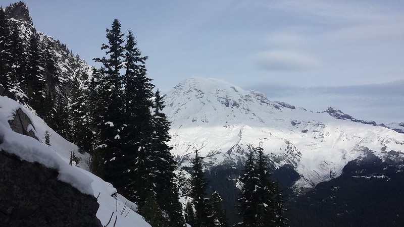
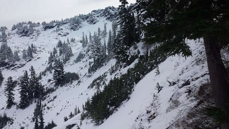
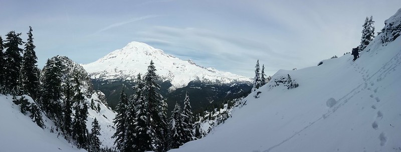
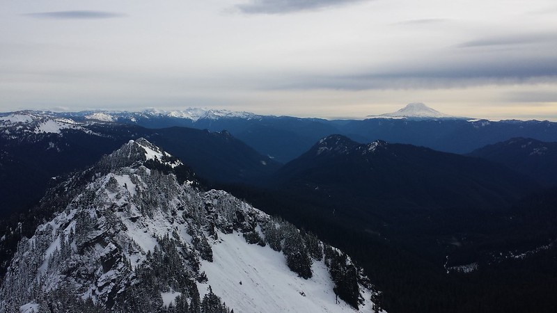
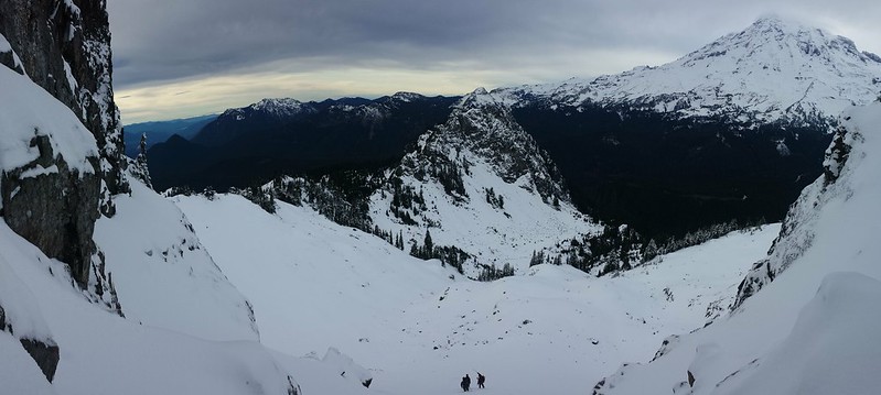
We donned crampons and made a high traverse to the saddle across bear grass and scree covered with a few inches of snow. From the saddle the mostly open north slopes looked navigable but we opted to travel via ridge-top. There was just enough snow cover to provide a route-finding challenge, but a few more feet would have been nice. Tahoma dominated the sky to the north while the southern horizon provided a rare view of both Mount Adams, Hood and St. Helens. Dozens of people could be seen working their way up (or down) the Muir snowfield in the distance.
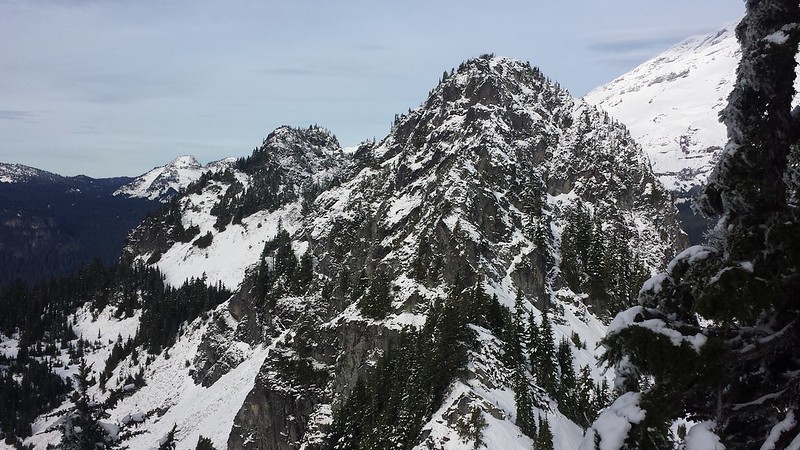
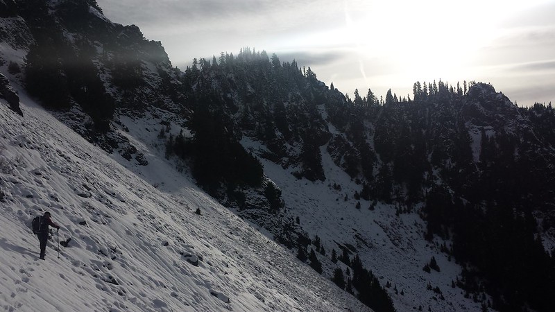
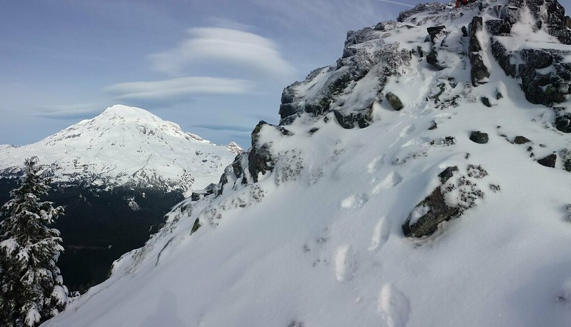
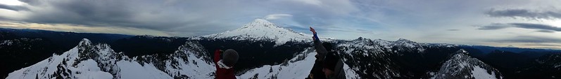
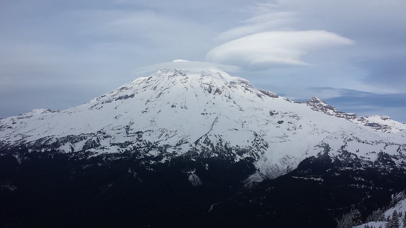
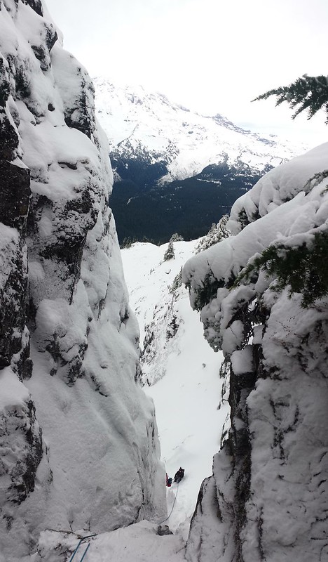
A short exposed scramble over icy rock brought us to the false summit. Cliffs on the north side dropped quickly off to the slopes below. Getting to the true summit required crawling under and around a few burly trees and dropping down to the right (south), followed by a couple of exposed moves. At this point I was glad that James had suggested we bring rope, as we likely would have turned back without it. I made a quick search for a register with no luck, and looked around for a less exposed descent route. Lenticular clouds descended onto Tahoma as we lunched.
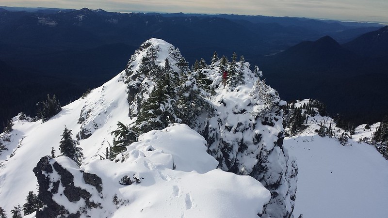
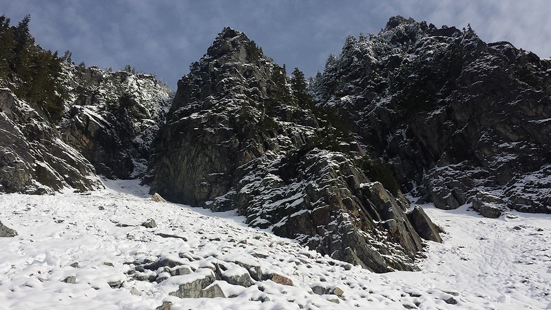
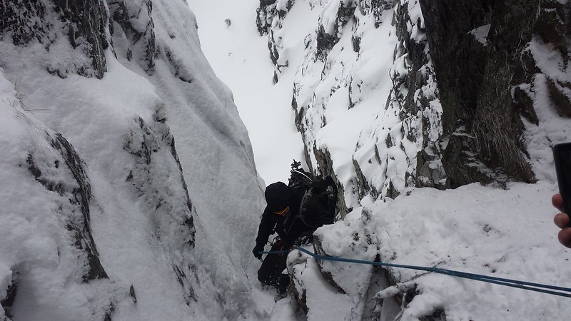
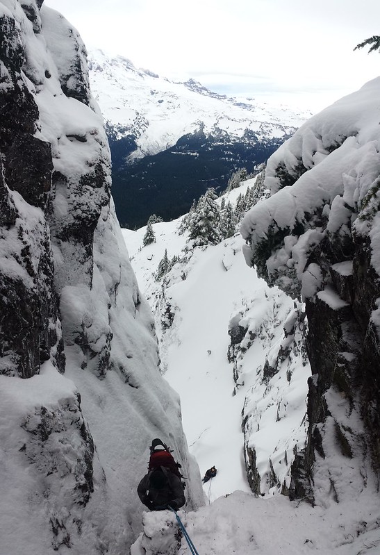
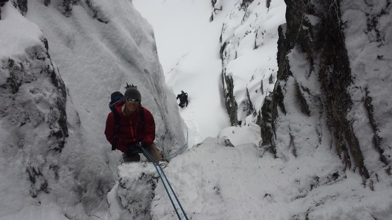
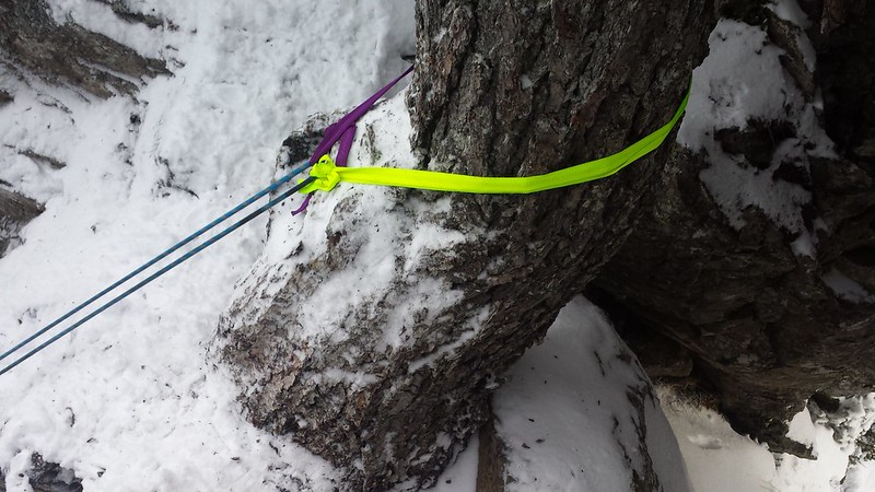
After a snack and pictures we decided to rappel down a tight gully to the west with a BFT for an anchor. We made it quickly back to the saddle, but without enough daylight left to attempt Eagle Peak or Chutlah. We dropped further down into the meadow before heading back into the trees, which made for a much easier return to the trail. We just barely made it back to the cars without headlamps. Despite perfect climbing weather, we did not see another soul all day.
~4500' elevation gain
7 miles round trip
No comments:
Post a Comment