Where I've Been


View Jeb's Journeys in a larger map
Showing posts with label Dogs. Show all posts

Tuesday, December 30, 2014

Bearhead Mountain: The return of aDam 2014-12-28


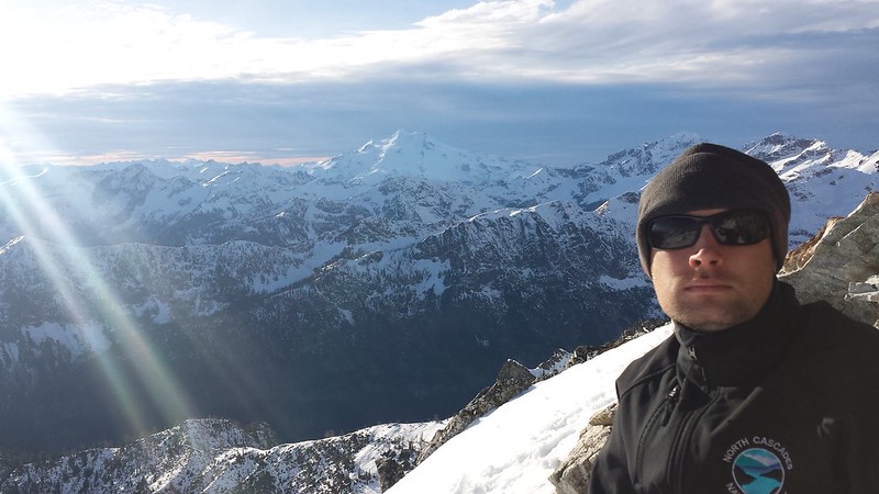
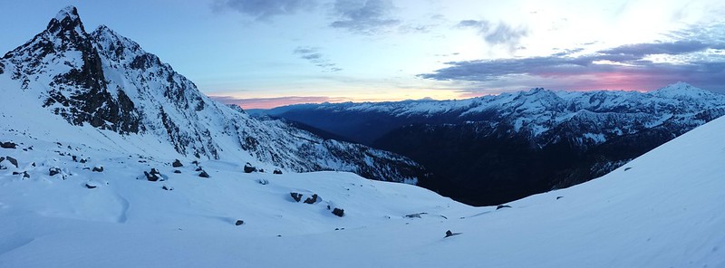
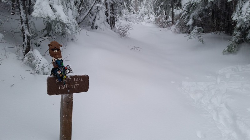
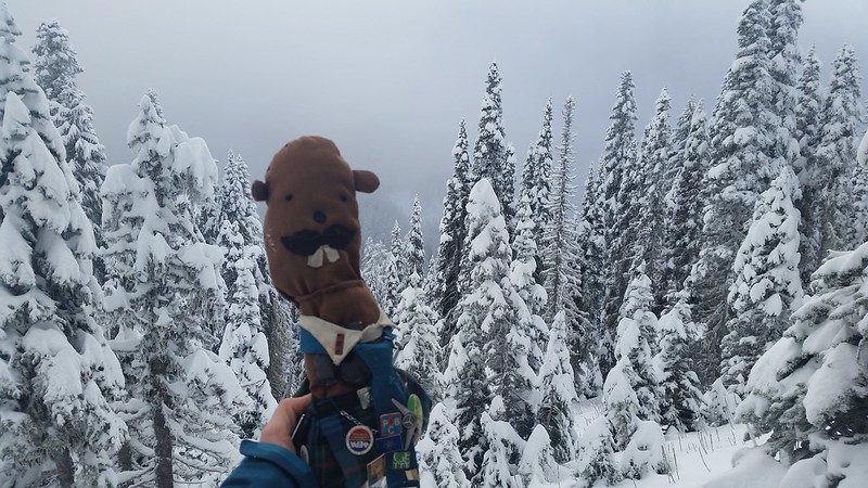
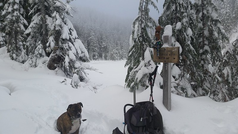
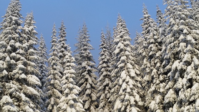
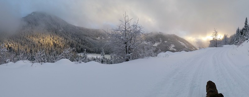
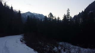
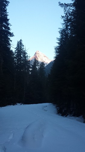
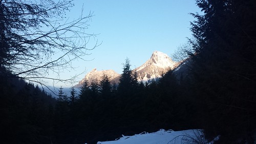
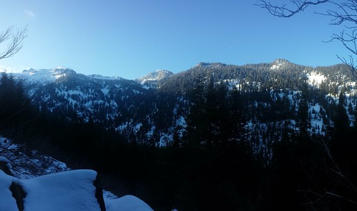
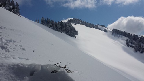
aDam is back! He joined me and a few friends on a trip up Bearhead Mountain last weekend. Snow levels were similar to my first attempt on this peak, but this time it was a few feet of fresh powder all the way to the top rather than the springtime snow we experienced in March. Nellie's car stopped around 3500' on the road just after light rain turned to snow. Colin dropped me off with Maverick and some gear near the trailhead and ferried the rest of the group back in his jeep.
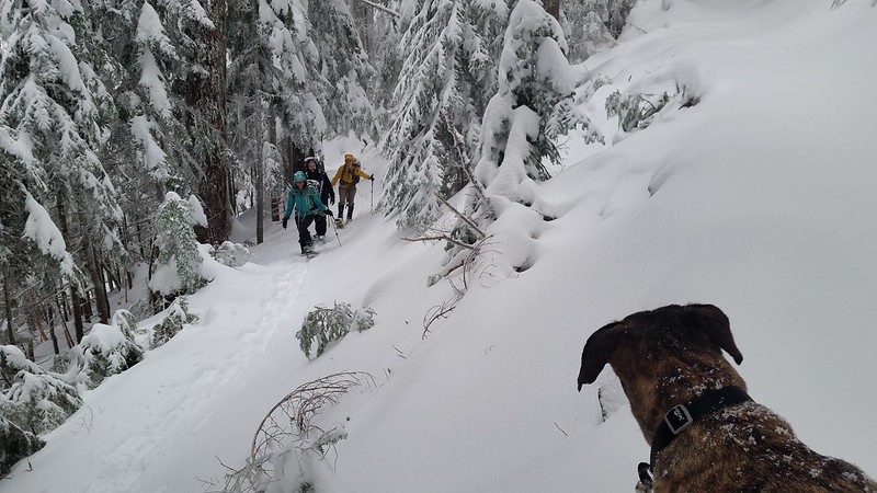
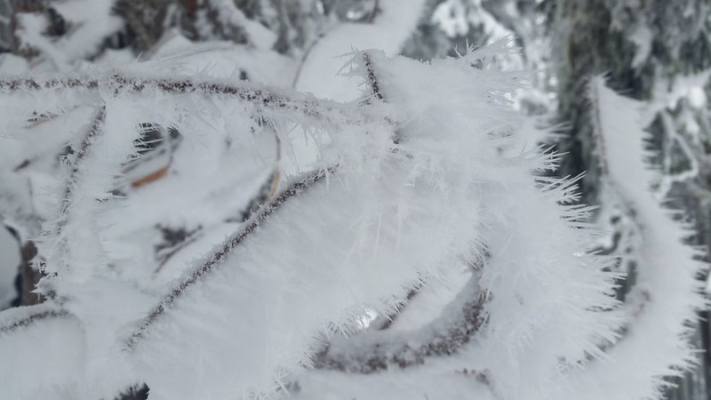
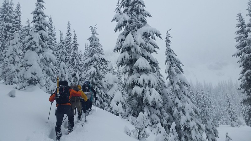
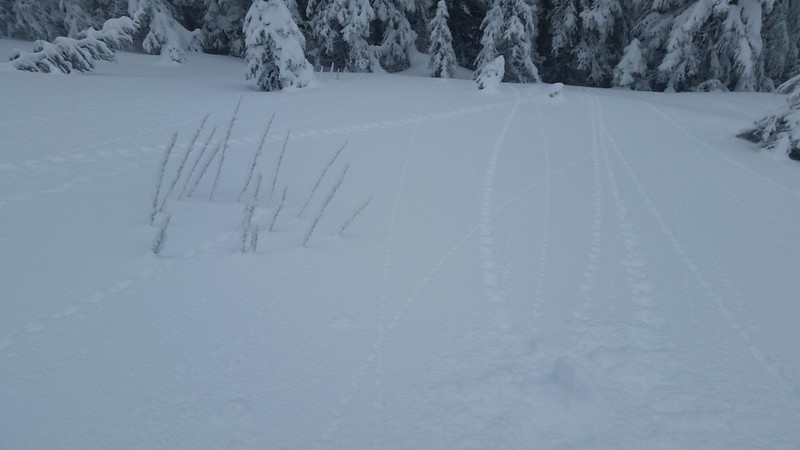
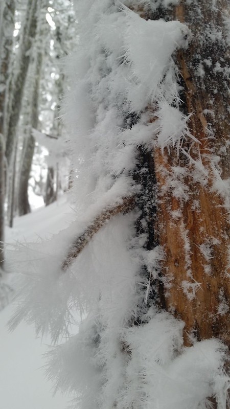
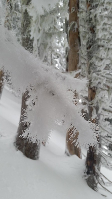
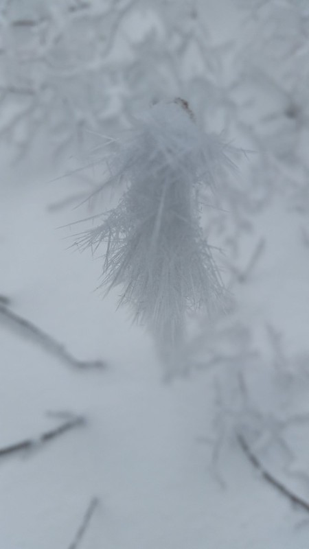
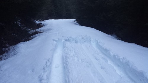
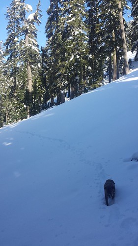
I started slowly up the trail to stay warm, sinking at least 6 inches with each step. Everyone else caught up below Twin Lake and we took turns breaking trail for the mile-long traverse. Much of the bear grass and branches were covered in newly-formed hoar frost. As we reached the SE ridge, the slope mellowed and the trail disappeared into smooth powder.

20141228_085235 20141228_094623
20141228_105831 20141228_113320
20141228_105324 20141228_112851

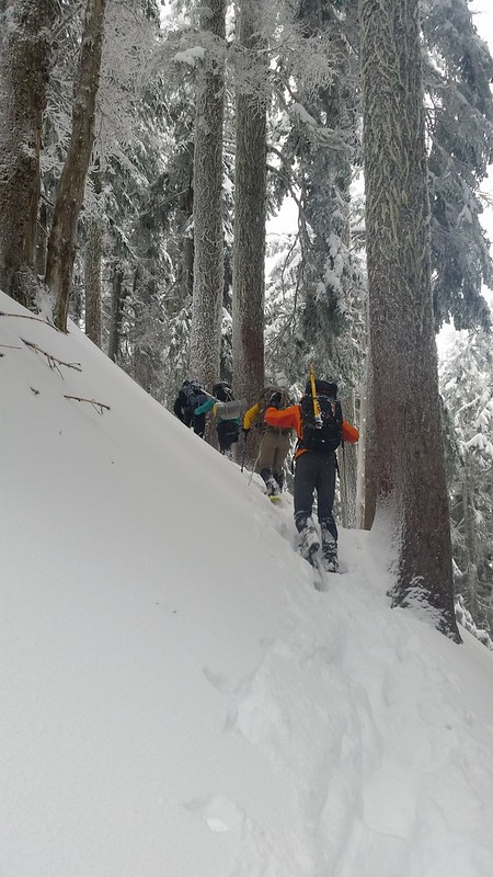
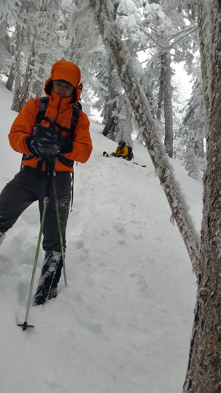
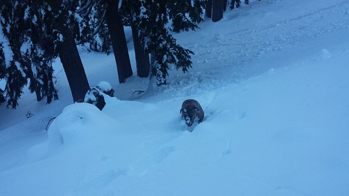
The snowfall stopped around halfway up the ridge, and we got a few brief glimpses of blue sky. Breaking trail uphill became more challenging with every step. The final 400 feet took us an hour to climb. We experienced some "whoomping" and found a few fractures in the snowpack, and had a quick safety meeting to insure that everyone felt comfortable continuing. We plotted a route through the trees, keeping a safe distance from the steeper slopes to the east.

20141228_114911 20141228_121150

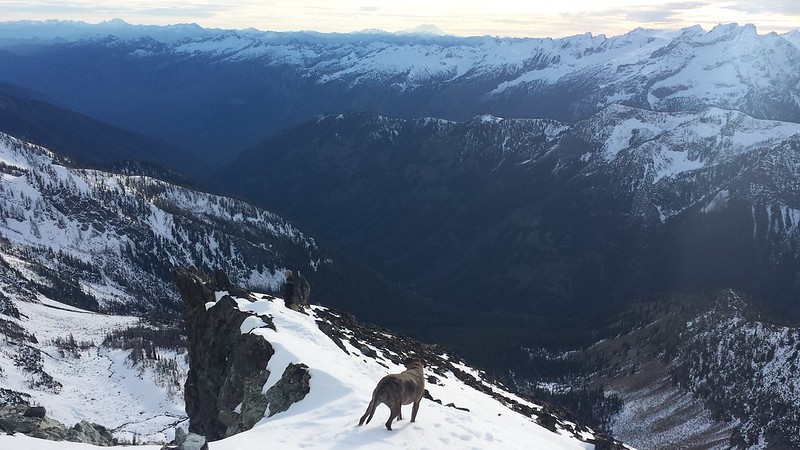
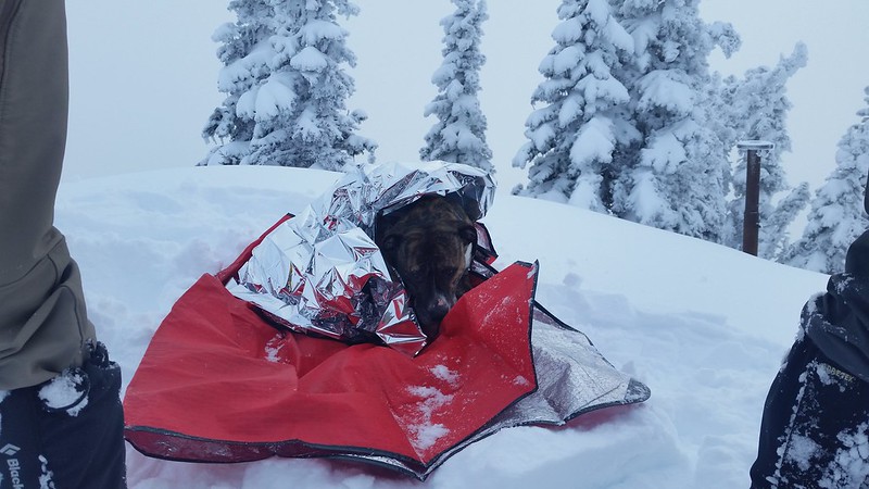
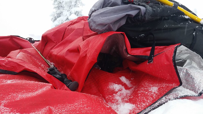
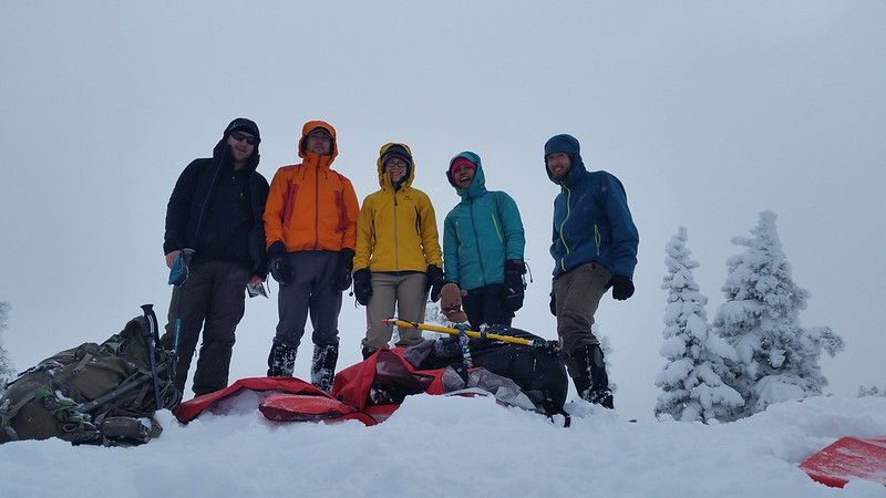
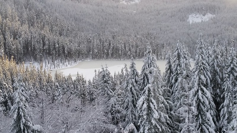
There was very little wind at the top, but it was still pretty cold. Maverick was not happy to be stopped, so we built him a dog cave out of emergency blankets. We ate lunch on the summit, looking down at the spot where Colin and I turned back with our Mountaineers group in March.

20141228_122339 20141228_133042
20141228_134436 20141228_134604
20141228_135404

I cannot describe how great it felt to fly down at high speed after such a brutally slow ascent. We cut most of our switchbacks, alternating between plunge-stepping and a standing glissade back to the traverse. Colin and I reached the trailhead quite a bit before the rest of the group so I continued on with Maverick towards Nellie's car, accompanied by the sound of gunshots and occasional sunshine.

20141228_142451 20141228_142525 20141228_142609
20141228_143120 20141228_151209
20141228_153820 20141228_155122
20141228_155303

9 miles round trip 1800' gain

Sunday, November 16, 2014

2014-11-8 Seven Fingered Jack

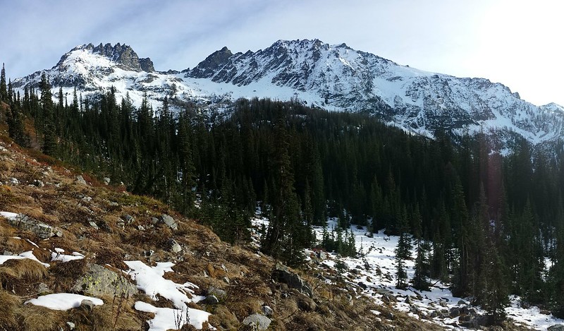
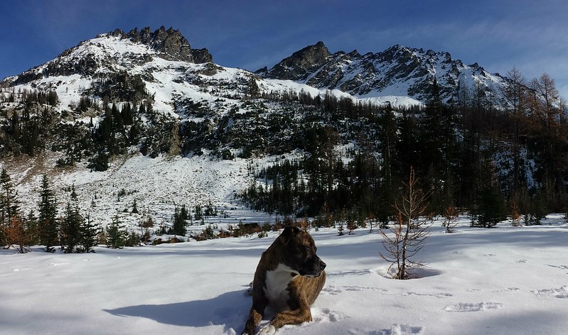
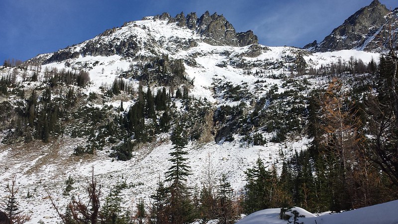
Colin and I hatched the plan for a weekend backpacking trip early in the week, and by Friday we had settled on Leroy Creek Basin North of Leavenworth. The goal would be to climb Seven Fingered Jack and Mount Maude, then whatever else we had time for. The Forecast looked decent until Sunday which suggested rain showers, likely in the afternoon - so we prepared to pack out early Sunday for some sport climbing near Vantage before returning to Seattle. Work and traffic made for a late departure and a longer drive than we had hoped.
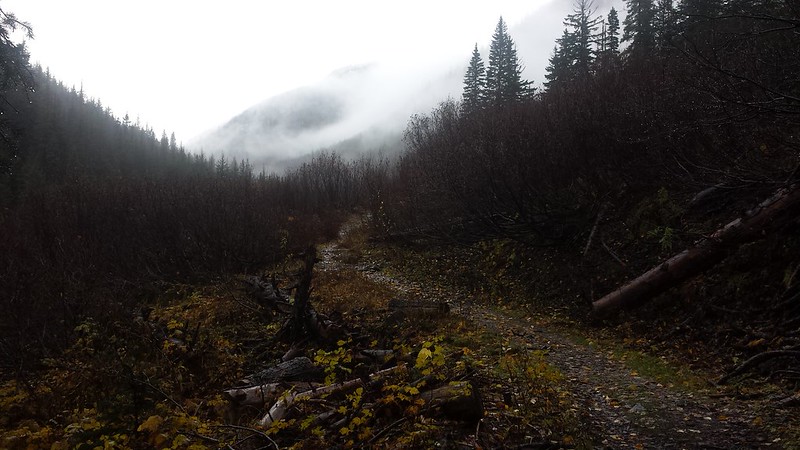
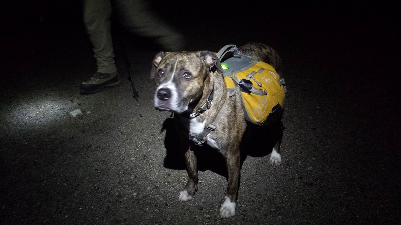
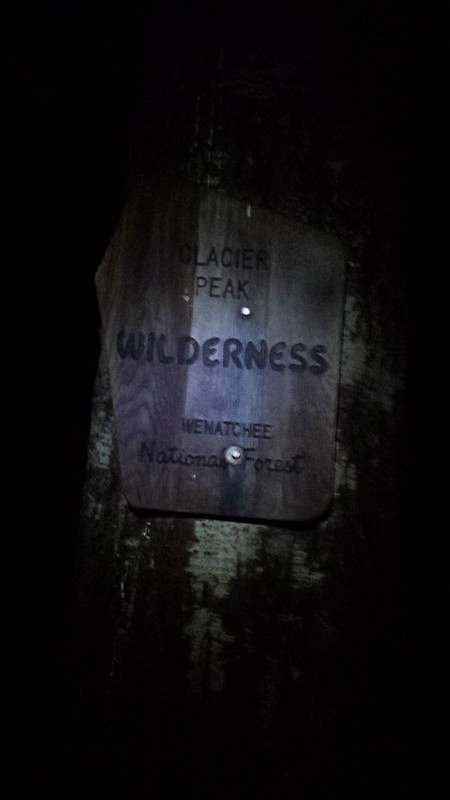
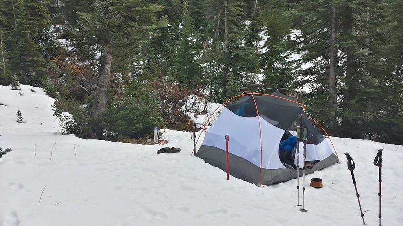
We pulled up to Phelps Creek Trailhead at 9 o'clock and were on the trail by 9:30. Despite passing faint trails just past two of the first few creeks we had no trouble locating the climbers path after crossing Leroy Creek, the widest of the bunch. We experienced minimal bushwhacking, but we were both exhausted from a long day so we set up camp at the first flat spot we found, about 600' below the upper basin. It was well past midnight by the time we had eaten and crawled into bed, and we agreed to forego the early start.
20141107_212850 20141107_224145 20141107_230618

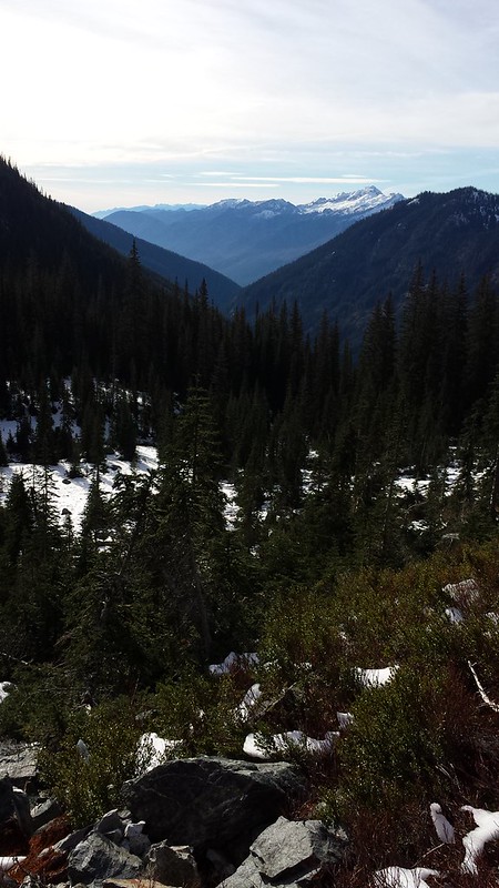
As we started out from camp just before 10 am it was clear that we had wasted the best hours for snow travel, and with each subsequent post-hole it became all the more obvious that we would not have time to make both summits. During a rest stop at the campsites in the upper Leroy Creek Basin, we decided to first tackle 7FJ and then let the cards fall where they may. We could see a few different route options, but there was just enough snow cover to further disguise the slope degrees from below.
20141108_085205_Richtone(HDR) 20141108_100344 20141108_093519
20141108_104052 20141108_110727 20141108_121000
20141108_122915 20141108_133627

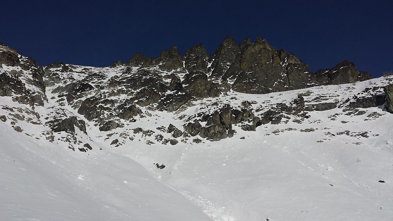
As we neared the saddle the east-to-west traverse below the finger cliffs looked appealing, however it would require some travel through potential avy terrain. The West Ridge looked steep, but do-able, and with a slightly safer approach. After crossing an ~40 degree snow field and prodding Maverick through a sketchy scramble we had gained the ridge. Halfway to the summit we agreed that this would not be a fun descent route due to steep exposure and loose rock. 10-20 mph wind blasted us from the west as we neared the summit.
20141108_133634 20141108_142533 20141108_144218
20141108_145603 20141108_151401

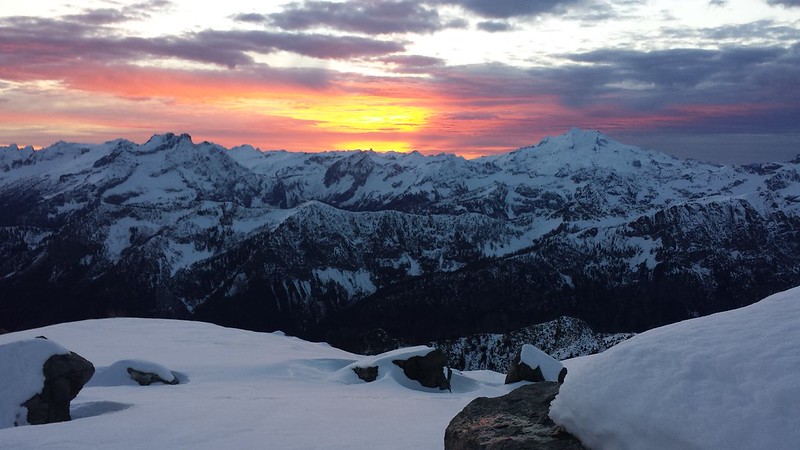
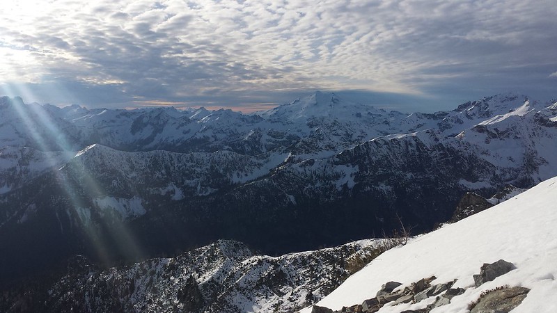
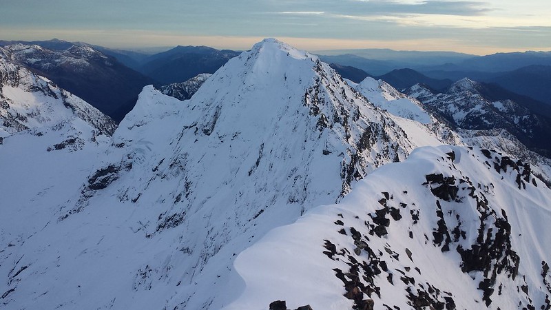
Crampons and ice axes came out for the final 100 feet or so. Views were outstanding from the top, but howling wind and a quickly setting sun chased us away before we could even get the motivation to search for a register. We traversed toward Maude on the descent and we were glad we did. The 2-3 feet of week-old snow had baked for hours in the sun, making for a slow and painful descent into the trees. We stopped briefly for the sunset and cursed our lazy selves for getting such a late start on the day. We returned to camp well after dark and were passed out by 9.

20141108_160645
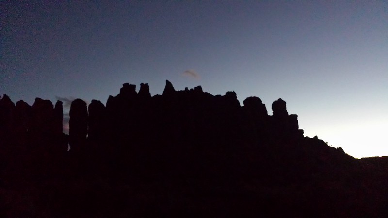
Mount Maude. We got a late start and worked for 6 hours through 3000' of softening snow, finally reaching the summit of Seven Fingered Jack with to little time to continue to our next planned destination. Mount Fernow Seven Fingered Jack Sunset
20141108_164157

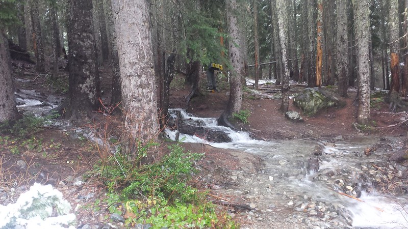
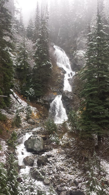
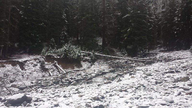
We got about 3 inches of snow overnight which thankfully did not turn to rain until we were nearly back to Phelps Creek Trail. The waterfall on Leroy Creek, which we had only heard on our way up Friday night, was gushing when we passed. The largest puddle in the road had grown almost too large for my tiny escape to pass it. Back in Leavenworth the rain had subdued. Vantage was bathed in sunshine, as usual, allowing for us to get a few hours of climbing in at The Feathers before sunset.
20141109_094233 20141109_094630
20141109_094654 20141109_110009
20141109_161457 The Feathers

Wednesday, July 30, 2014

2014-5-3 Alpine Lookout (Nason Ridge)


View 2014-5-3 Nason Ridge in a larger map


I am way behind on the blog so the description will be brief for this and the next few trip reports. Colin and I were hoping to hit Mount Howard and Mastiff but due to a less-than-ideal forecast and questionable snow conditions we played it safe and started from the east end of Nason Ridge. We decided that we could be content with reaching the lookout, and if time and conditions allowed we could continue on from there. Snow stopped the truck just before the trailhead. The trail was tough to make out but the route was obvious from the terrain and soon we were on the mostly open slopes of a big burn.

The summit of Round Mountain is devoid of views and very flat, needles to say we didn't hang around long. Along the ridge Colin noticed a man-sized hole in the snow with bare rock on the bottom, about 7 feet below the snow surface. We explored this mini "snow cave" on our descent. As we continued up, turbulent clouds slowly lifted from the surrounding peaks exposing Icicle Ridge and the Chiwaukum Mountains to the south.

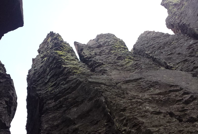
Before long the lookout came into view across a saddle with quite a bit of exposed rock and some huge cornices. We found a few short sections of melted out trail along the ridge at and beyond the saddle. The door was locked, so we set up for a break on the porch out of the wind, and Maverick promptly began to nap. Before leaving we dropped down on the North side of the ridge to explore a little column of rock which a goat must call home. The sky around us remained mostly filled with turbulent clouds.

On the way out we jumped into the little snow cave, which Maverick wanted no part of. Then we broke off some big cornices, riding them a whole 10 feet down to the little runout below. As we began the final descent back into the large burn, The sun really started to come out, bringing with it double and triple rainbows.

~9 miles ~4000 ft elevation gain

Wednesday, March 26, 2014

Third time is the charm on Lennox Mountain 3-23-2014

Lennox Mountain has been taunting me from afar since I first laid eyes on its rolling snowy slopes from somewhere within the Alpine Lakes Wilderness. I had hoped to continue on to Lennox after climbing Cleveland Mountain, and then from Canoe Peak but each time the summit seemed just out of reach. After conceding that this one would deserve the dedication of a full day, I began to look for the perfect snow conditions and weather forecast. With a Sunday that would live up to it's name and the lowest predicted avalanche danger in weeks I was confident that the third time would be the charm.

20140323_065626 20140323_070539
Lennox Mountain is ideally climbed (from the south, at least) with enough snow to ease travel through the thick brush which covers the forest floor for the first 1000' or so above the road. I was a bit surprised to find snow on road 5730 about 3 miles from the end. Some jeep ruts helped to get me and my crappy tires another half mile, and I was off with Maverick in tow by 6:30 am. The jeep tracks stopped just past Spur Road 113 where snowshoes instantly became necessary. McClain Peak and Mount Phelps lit up in alpenglow behind us, and what could only be Lennox Mountain briefly appeared ahead, though it looked oddly tame from this angle.

20140323_071705 20140323_073432
20140323_081145 20140323_095202
We left the road around 2600' in order to gain some elevation before crossing the next creek. While I thought at first we may have gone higher than required, we happened to cross just above the start of a deep, wide trench in the snow. I had hoped for a more consolidated snow pack but by 10 am the sun really began to bake the surface and each deep step brought with it a mound of slush caked onto my snowshoes. In a few steep sections I was forced to make painfully mellow switchbacks so that Maverick could get somewhere with his efforts.

20140323_100628 20140323_113044