Where I've Been


View Jeb's Journeys in a larger map
Showing posts with label North Fork Snoqualmie. Show all posts

Wednesday, March 26, 2014

Third time is the charm on Lennox Mountain 3-23-2014

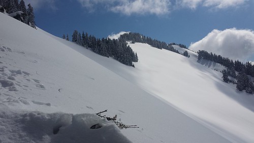
Lennox Mountain has been taunting me from afar since I first laid eyes on its rolling snowy slopes from somewhere within the Alpine Lakes Wilderness. I had hoped to continue on to Lennox after climbing Cleveland Mountain, and then from Canoe Peak but each time the summit seemed just out of reach. After conceding that this one would deserve the dedication of a full day, I began to look for the perfect snow conditions and weather forecast. With a Sunday that would live up to it's name and the lowest predicted avalanche danger in weeks I was confident that the third time would be the charm.

20140323_065626 20140323_070539
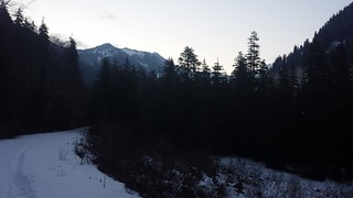
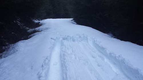
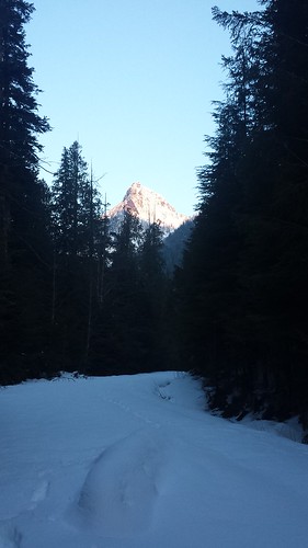
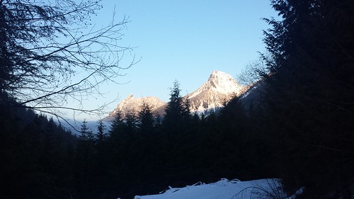
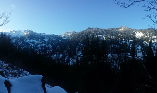
Lennox Mountain is ideally climbed (from the south, at least) with enough snow to ease travel through the thick brush which covers the forest floor for the first 1000' or so above the road. I was a bit surprised to find snow on road 5730 about 3 miles from the end. Some jeep ruts helped to get me and my crappy tires another half mile, and I was off with Maverick in tow by 6:30 am. The jeep tracks stopped just past Spur Road 113 where snowshoes instantly became necessary. McClain Peak and Mount Phelps lit up in alpenglow behind us, and what could only be Lennox Mountain briefly appeared ahead, though it looked oddly tame from this angle.

20140323_071705 20140323_073432
20140323_081145 20140323_095202
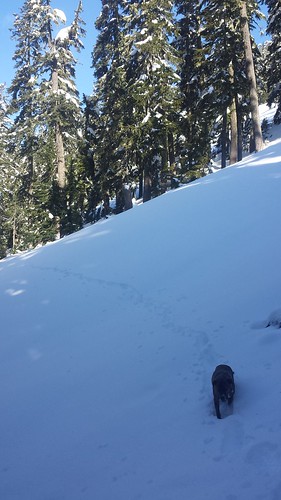
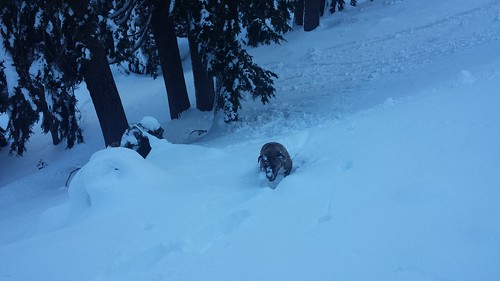
We left the road around 2600' in order to gain some elevation before crossing the next creek. While I thought at first we may have gone higher than required, we happened to cross just above the start of a deep, wide trench in the snow. I had hoped for a more consolidated snow pack but by 10 am the sun really began to bake the surface and each deep step brought with it a mound of slush caked onto my snowshoes. In a few steep sections I was forced to make painfully mellow switchbacks so that Maverick could get somewhere with his efforts.

20140323_100628 20140323_113044

Friday, November 22, 2013

Dog Mountain (Lennox Creek/North Fork Snoqualmie) 11-20-2013

I got an early start to make the most of the sunshine that was forecast for Wednesday. We were delayed for about 10 minutes on the long drive down the North Fork County Road by a truck that was being loaded with recently logged timber. Fresh asphalt now continues a few hundred feet past the "Spur 10" gate, it looks like new homes may be soon to come. Lights from more logging could be seen a few thousand feet up on the West end of Phelps Ridge.

20131120_153214 20131120_151510
We hit the trail at 7 a.m. with just enough light to leave the headlamp in the bag. Bits of snow appeared on the roadside before the barrier, less than 1/4 mile past the Bare Mountain Trailhead. The road/trail beyond the barrier was only slightly overgrown, but would have been much worse before fall. A few inches covered the ground by the time we reached the two consecutive bridges about a mile in. Shortly after that was a fork in the road, where we continued on the obvious trail to the right. Bare Mountain and the West ridge of Dog Mountain faded in and out of view along the way. The trail began at the roads end another 1/4 mile later.


20131120_150329 20131120_150049_Richtone(HDR) 20131120_072533

Saturday, June 22, 2013

Canoe Peak, Lennox Mountain sub-peak

Two weeks ago I attempted to combine Bare mountain, Canoe peak, and Lennox Mountain into a long day hike. A blown out tire 10 miles down the North fork road cut the day short after the first summit, but a bit of route scouting confirmed that snow would continue to ease the off-trail traverse for a few more weeks.


DSCF4126 DSCF4173
DSCF4240 DSCF4180 DSCF4241

Today I got an early start on the trail with my boy Automahn. The sky was clear for most of the day, which softened the cascade concrete just enough to allow solid footing without requiring flotation devices. I considered following the old road-trail to it's end and ascending past Bear Lakes, but opted for snow travel over bushwhacking. The long traverse across the snow fields North of Bare was easier than I expected under the direct sun.


DSCF4426 DSCF4428
DSCF4263
DSCF4406 DSCF4439 DSCF4407

From above Bear Lakes, the ridge to Canoe Peak looked mostly forested and easy to navigate, but upon reaching the crest I encountered lightly exposed scramble occasionally interrupted by thick patches of trees that even Automahn had trouble squeezing through. A month ago the snow covered ridge would be a pleasure to navigate, but about 200' below the summit I begrudgingly dropped down to steep snow banks and spent the next hour coaxing and assisting the mutt over exposed cliffs and steep snow banks. In the end I ascended directly from the south amid the trees, abandoning the Auto 50' below the top.


DSCF4250 DSCF4260 DSCF4272
DSCF4408 DSCF4403 DSCF4437

At the summit of Canoe Peak i found dry exposed rock and clear 360 degree views, but no register. The route to Lennox Mountain looked simple once past the ~10' tall bergschrund that stretched across the East-West ridge of Canoe. I had just enough time according to my decided constraints for the day, but considering the extra required route-finding for my squatty 4-legged friend was daunting, not to mention the small problem of getting over the bersgschrund. It was clear to me at this point that this trip would have been far better suited for an early spring attempt.


DSCF4404 DSCF4396 DSCF4370
DSCF4278 DSCF4505
DSCF4345 DSCF4346
Canoe Peak Summit Pano small
DSCF4334

While snacking above Bear Lakes, I was debating a return to Bare Mountain summit or a descent to the south into Bear Creek Valley when I noticed two folks on their way up that very route. I packed up and hurried over, to ask how they felt about the route they chose. It turned out that the couple were looking for Lennox, so I showed them where it was hiding on the other side of Canoe Peak and described the route, and they told me of the waterfall they had to climb on their ascent. I chose to return the way I came and was followed shortly after by the pair.


DSCF4411 DSCF4439

Back on Bare Mountain we encountered about a dozen hikers, most without trekking poles, ice axes or traction devices. Luckily the large steep snow field that sat below the summit 2 weeks ago was nearly gone now, and had solid steps kicked into it. The sky continued to fill with clouds as we relaxed at the top. The pants and undies from my last visit had mysteriously disappeared.


DSCF4486 DSCF4489
Bare Mountain Summit Pano

The return trip was uneventful. As I expected, Bear Creek was noticeably higher at the upper crossing. Bugs were getting pretty bad, and the trail is still very wet in places, come prepared!

DSCF4510
DSCF4513 ALW Pano


~11 miles Round Trip
4400' elevation gain
3.5 hours to Canoe Peak summit, 10 hours car to car


Sunday, June 9, 2013

Bare Mountain (North Fork Snoquamie) 6-9-2013


View Bare Mountain 6-9-2013 in a larger map

I was ahead of schedule heading down the North Fork Snoqualmie River Rd in the new 4x4, stoked on a beautiful day in the mountains when I ran over some kind of metal trash in the road and blew out a tire. Four hours later I finally arrived at the trailhead for Bare Mountain Trail #1037 in surprisingly good spirit.

DSCF4155 DSCF3963 DSCF3961
The trail is in decent shape after recent maintenance, but encroaching vegetation will soon make for at least a mile of serious bushwhacking. There are a few blowdowns and some water on the trail, and one serious creek crossing over slick logs. Snow appeared sporadically around 4000' and the trail mostly disappeared beneath it just above the saddle to the Eastern sub-summit. There was one 50 foot section of steep exposed snow, which I easily bypassed with a short scramble along the ridge. Automahn needed a boost or two. Views were great sunshine began to poke through the overcast shortly after reaching the summit. I found no summit register, but plenty of weathered broken glass and rusted nails, remains from the fire lookout tower that once stood here.

DSCF3976 DSCF3980
DSCF3983 DSCF3997
DSCF4106 DSCF4104 DSCF4109
DSCF4006 DSCF4086
DSCF4072 DSCF4073
Canoe Peak and Lennox Mountain loomed nearby, taunting me as surveyed the route from above the Paradise Lakes. I'm not sure if it was the late start or the long stretch of sun-baking snowfields that lay between us, but it was an easy choice to leave these two for another day.

DSCF4126 DSCF4066
DSCF4001DSCF4003
I chose instead to take the Bear Creek junction on the way down to explore some mining remnants that could be seen from the trail above. I found more than I expected, including rusted out mine carts, massive machine wheels.

DSCF4135 DSCF4146 DSCF4129
DSCF4139 DSCF4149

~10 miles Round Trip
3600' elevation gain
2:45 to summit, 7 hours car to car