 |
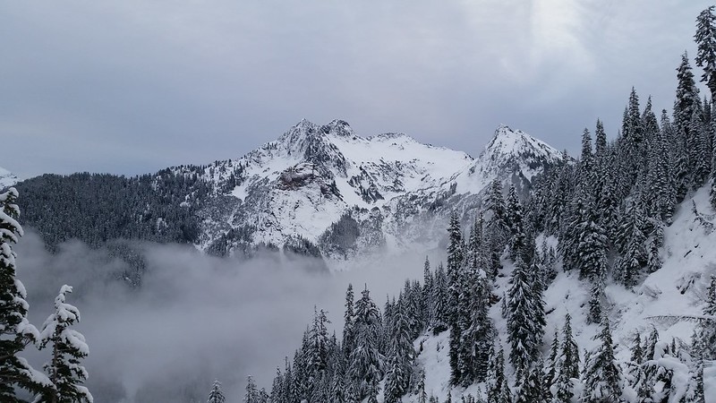
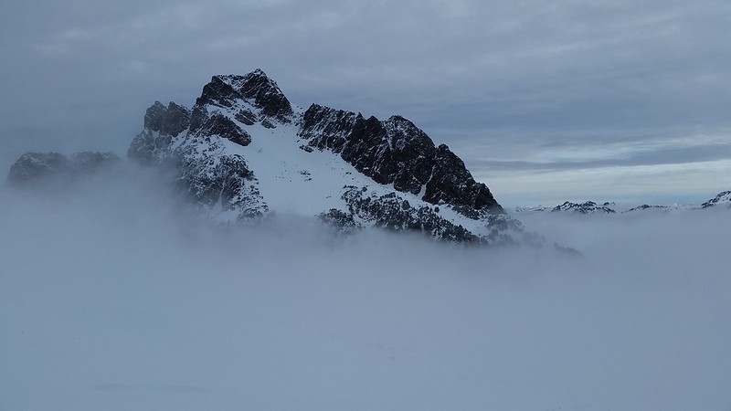
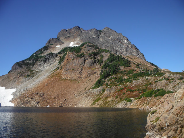
| Del Campo Peak |
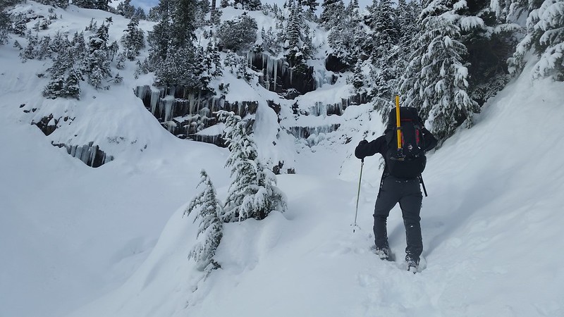
There is a sign less than a mile down Monte Cristo Road/Trail that warns of damage to the road ahead due to mud slides, directing hikers instead to take a bypass trail. I learned on the way out that this is not necessary as the road seems to be repaired, despite the sign. At the outhouse I took the trail marked "Weeden Creek".
 |
| Ignore this sign, as the road has been repaired. |
 |
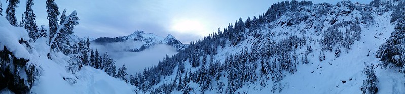
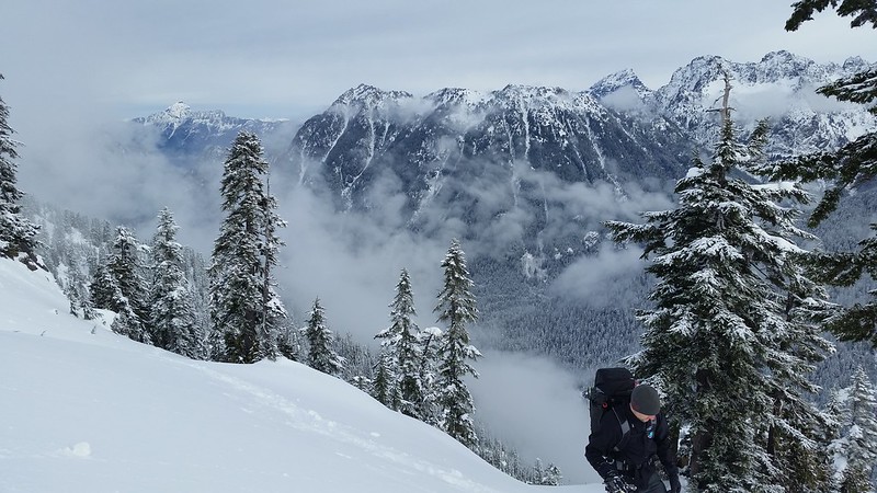
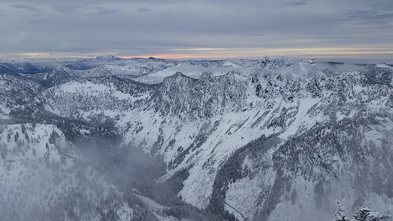
| The Weeden Creek trail eads to Foggy Lake and Gothic Basin |
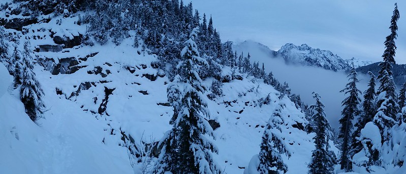
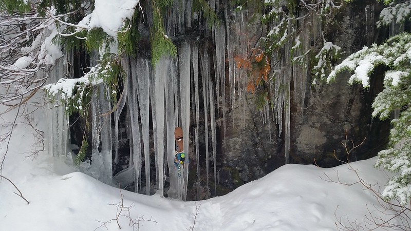
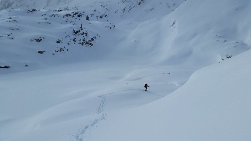
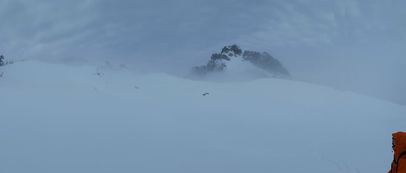
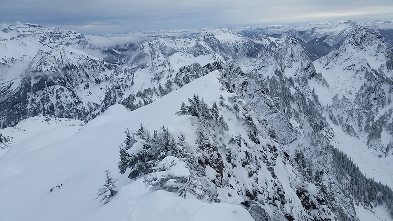
The trail is well maintained although slightly overgrown in a few spots, and occasionally very steep. A half moon was visible over the mountain for my entire ascent to the lake. There are only 2 snow patches left on the South face of Del Campo Peak, 3-4 on Gothic Peak, and one large one on the saddle between hugging the edge of Foggy Lake.
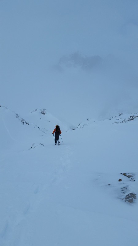
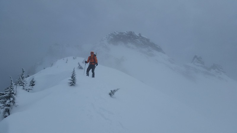
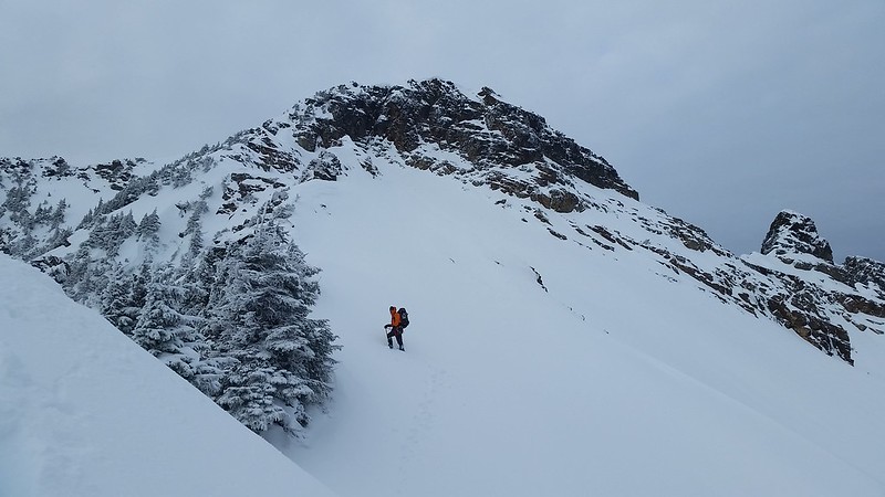
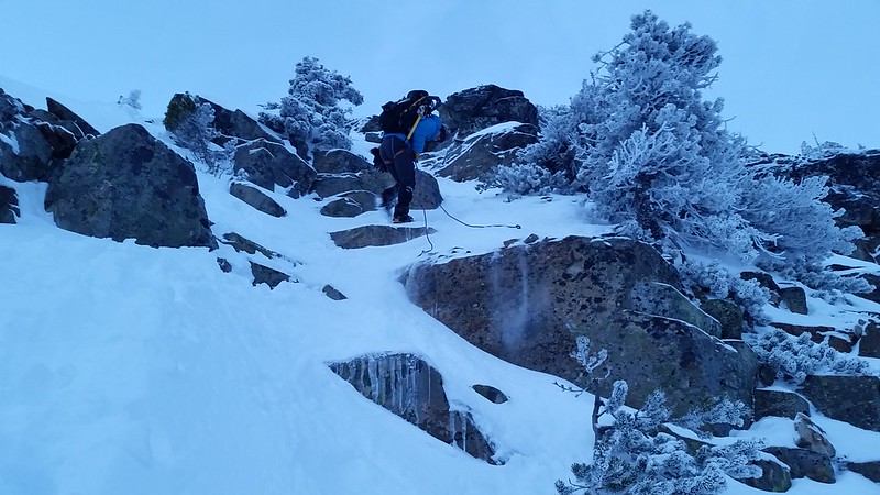
I skirted around the right side of the lake and followed the bootpath up a small ridge toward Del Campo where I ran into a group of cavers from Seattle who were preparing to make the climb. They headed up while I had a snack and rested up with Maverick. I watched a pair of older gentleman as they emerged from behind a small ridge to the West and just below the summit, and then traversed to the east across the South face a few hundred feet above where the rock face meets the talus field. They seemed to have remained for the most part upright, which they confirmed by describing an "easy class 3 scramble with a bootpath at times."
 |
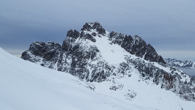
| My route is in green. What I could see of the other, more exposed route is in red |
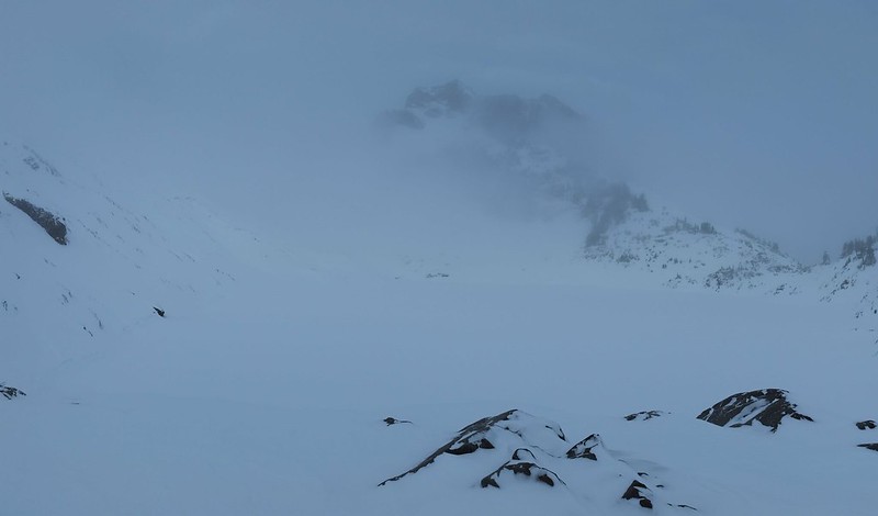
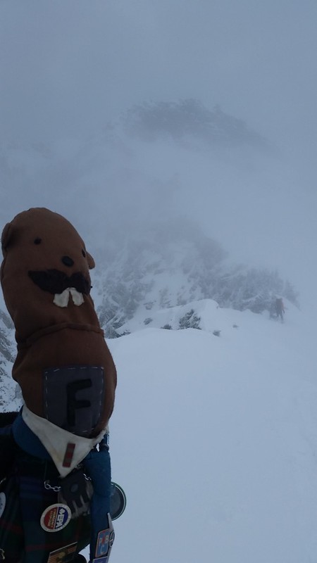
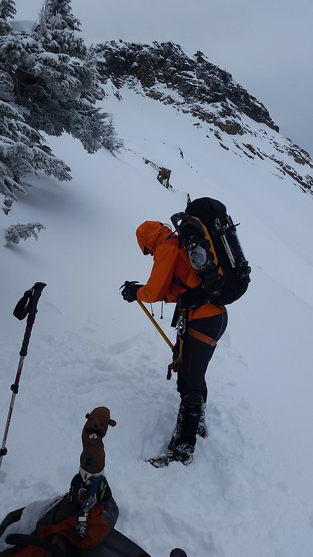
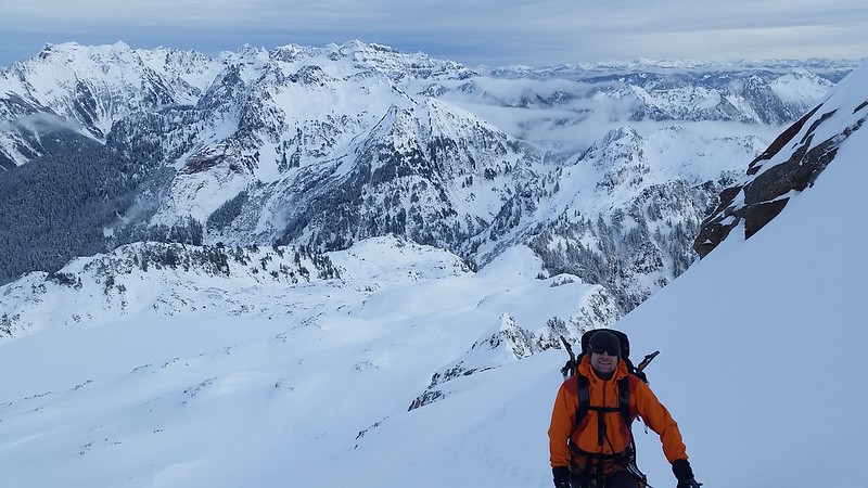
By the time I reached the top of the talus field I had seen a group descend from the East face, just to the West of the big deep gully. The cavers and another pair of climbers took this route, and after comparing the apparent exposure and considering my dogs ability I chose the path more traveled and was glad I did. I don't recommend bringing a dog past this point, as there is constant exposure on this route and more dramatic exposure for what I could see of the other. I had to assist Maverick with at least 5 tall moves on the way up and down. I am beginning to think he is half mountain goat.
 |
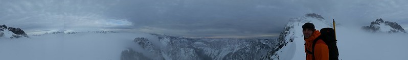
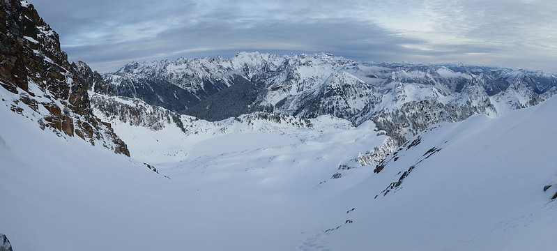
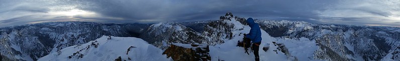
| Summit Pano |
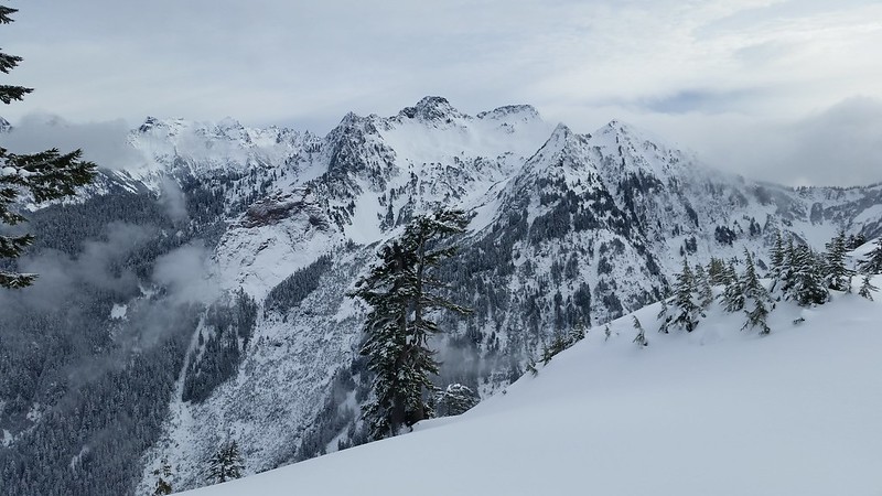
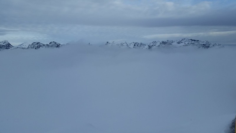
Views from the top are outstanding! Monte Cristo towers over Silver Tip Peak. Glacier Peak, Baker, and Rainier tower over everything. There was little to no wind all day, which also kept the wildfire haze down and visibility up. There was smoke rising from Southwest of Baring Mountain but I haven't been able to find any reports of a fire in the area. There is a summit log in an ammunition box with plenty of room left.
The descent was thankfully much easier than I had expected and there was plenty of light left to run up Gothic Peak, but Maverick's paws were starting to crack and get raw so I decided not to push it so after filtering some ice cold water from the lake we had an uneventful return trip.
Stats:
7:30am - Leave car
10:00am - Arrive @ Foggy Lake
11:30am - Begin climb
12:40pm - On summit
3:00pm - Back to Foggy Lake after a long break on top
4:45pm - Back to car
~4400' elevation gain
~10 miles round trip
 |
| Gothic Peak |
 |
| Summit Log |
 |
| Mt Baker |
 |
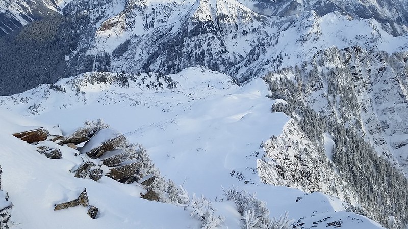
| Foggy Lake and the scramble route from above |
 |
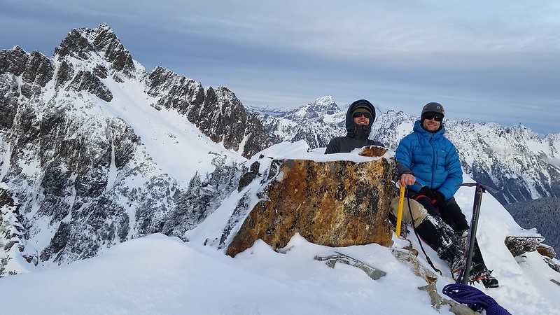
| Pumpkin pie on summit. Thanks Wifey! |
 |
| Wildfire smoke NW of Rainier |