Where I've Been


View Jeb's Journeys in a larger map
Showing posts with label Sloan Peak. Show all posts

Sunday, January 4, 2015

Gothic Peak 1-3-2015


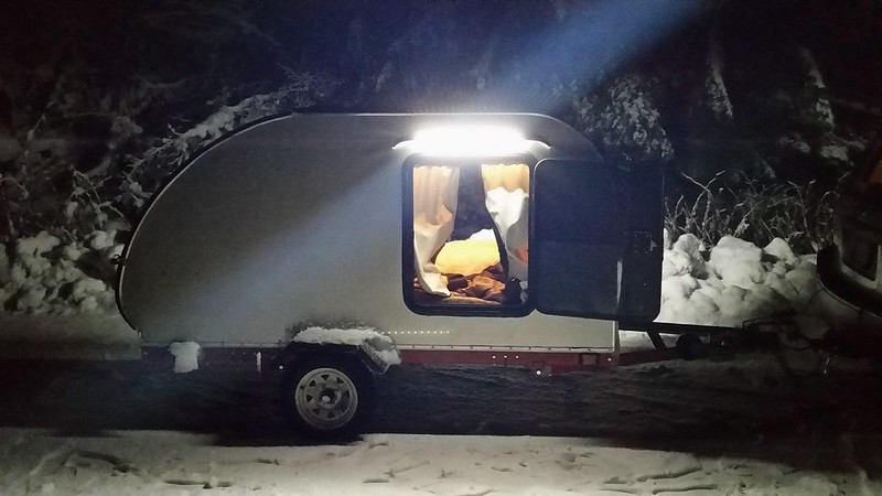
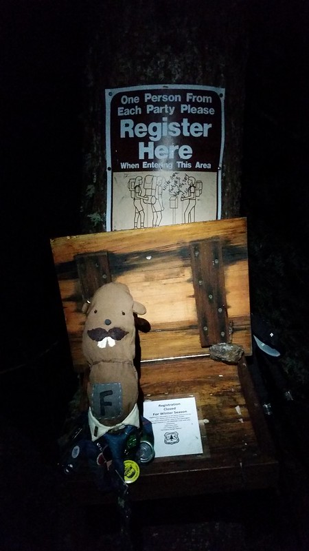
It was lightly snowing when we pulled up to the Monte Cristo trailhead around midnight. There was slush and ice on the mountain loop a few miles before deer creek, and about 2 inches of snow at Barlow pass. After 4 hours of sleep, we started down the trail at 5 am, uncertain of the snow conditions that lied ahead.
20150102_231656 20150103_055827
20150103_080653

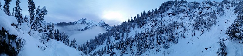
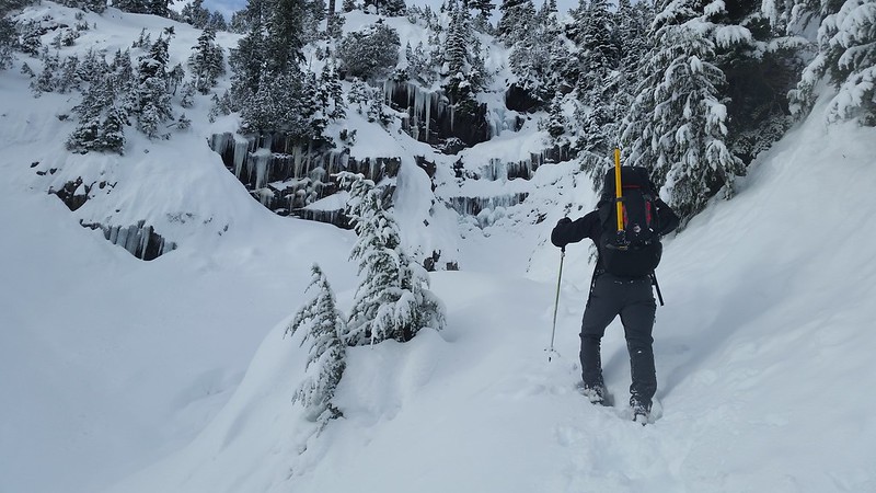
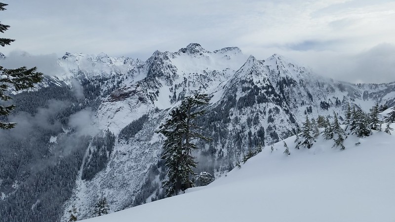
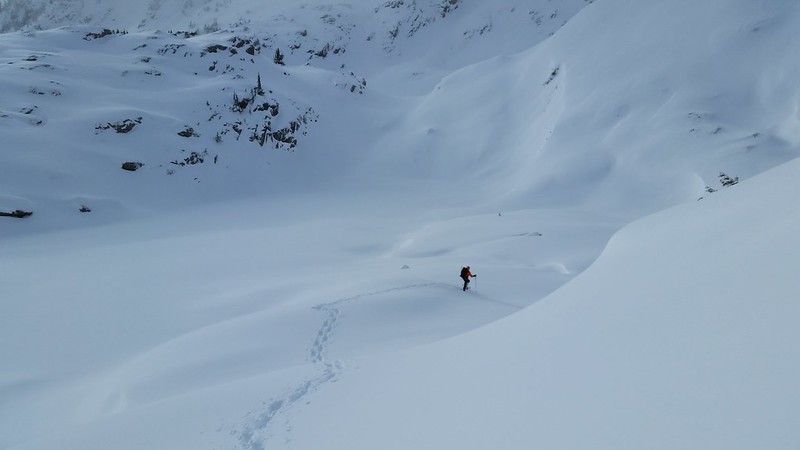
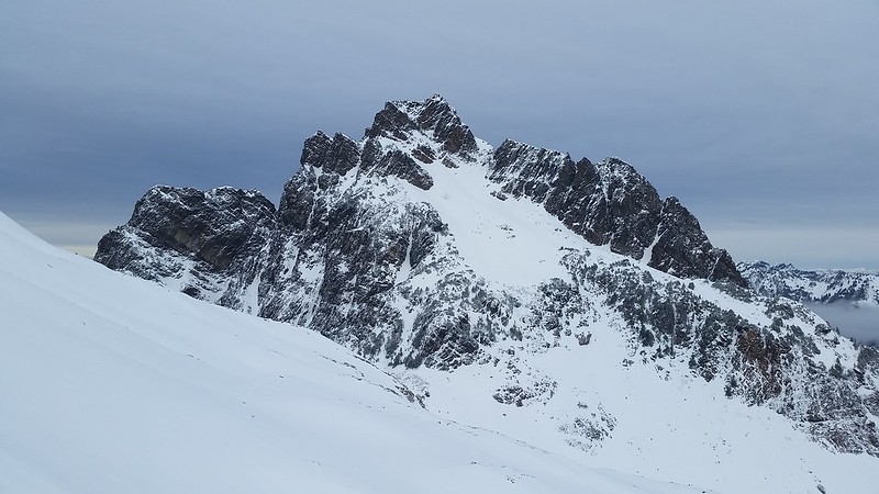
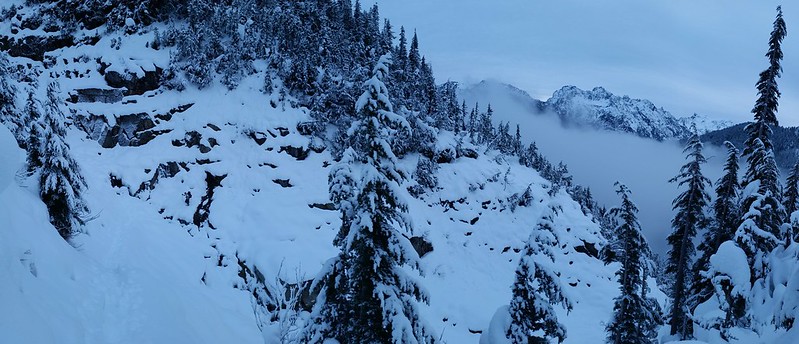
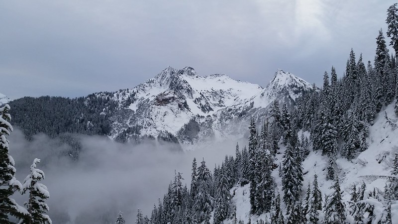
The trail to Gothic Basin was well packed until the first gully crossing about a mile beyond the Monte Cristo Trail. We put on snowshoes on the other side of the gully and continued climbing as the peaks to the east began to appear above the tree tops. Evidence of the trail could be seen occasionally through a foot of fresh powder. Sheep Gap Mountain came into view ahead as we crested the ridge into Gothic Basin. Clouds flowed through the peaks surrounding Monte Cristo and Sloan Peak appeared in the saddle between Sheep Mountain and Gemini Peak. We were moving very slow, though it didn't seem like it - in 7 hours we had traveled only 4 miles and gained less than 3000 feet.
20150103_081215 20150103_082922
20150103_085739 20150103_090709 20150103_093613
20150103_094235 20150103_101438

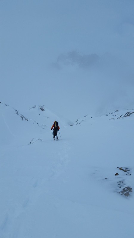
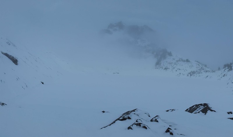
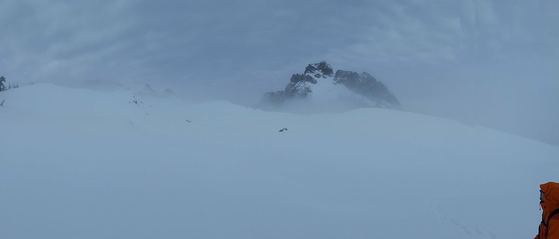
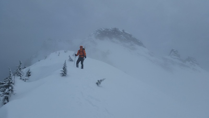
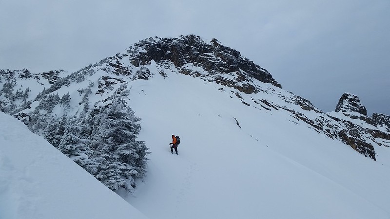
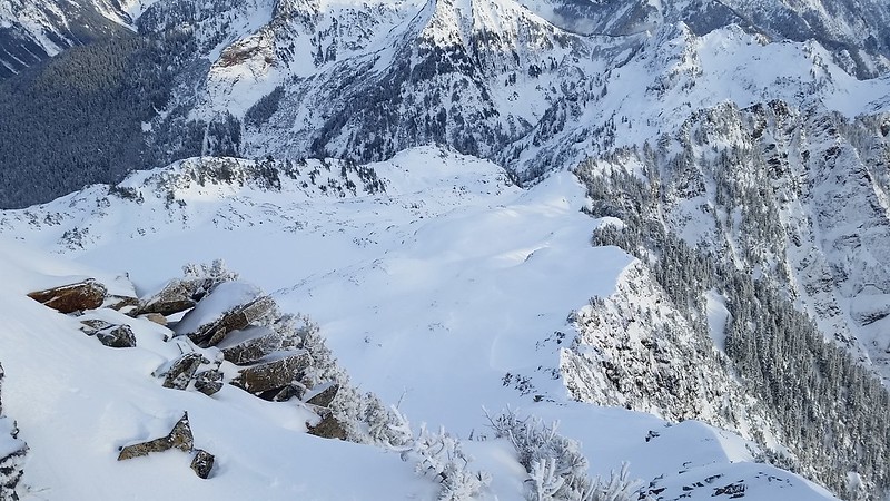
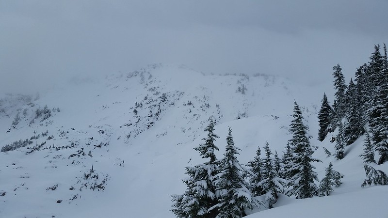
Gothic Peak was shrouded in thin fog when we entered the basin. From the frozen shores of Foggy Lake we ascended the mellow east face, connecting with the SE ridge. I became disoriented a few times, uncertain of the angle of the slope ahead of me in the whiteout. Just before the lake disappeared below us, we heard voices and noticed two people following our path. We didn't see them again, but noticed their tennis shoe tracks on our return - wow!
20150103_110848 20150103_112204
20150103_114135 20150103_114214
20150103_121420 20150103_123613(0) 20150103_124325
20150103_132549

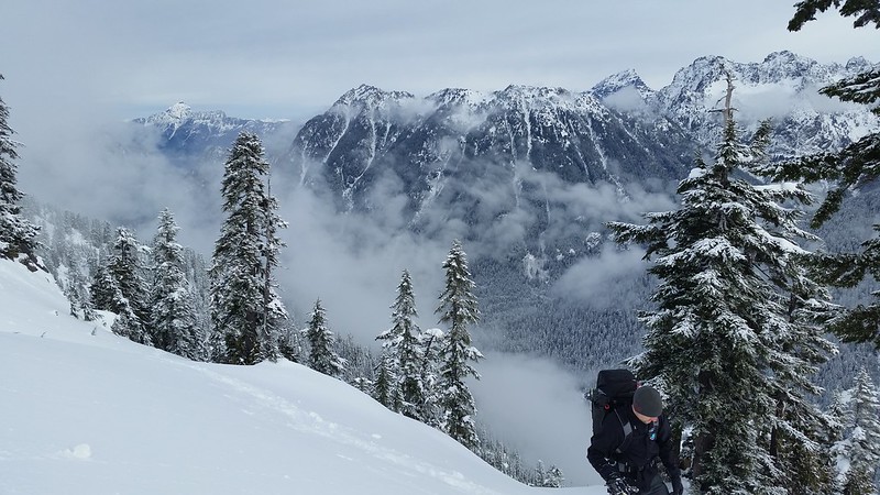
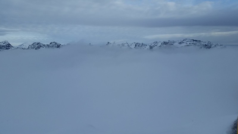
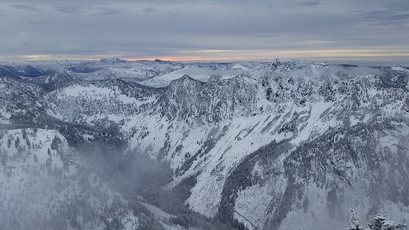
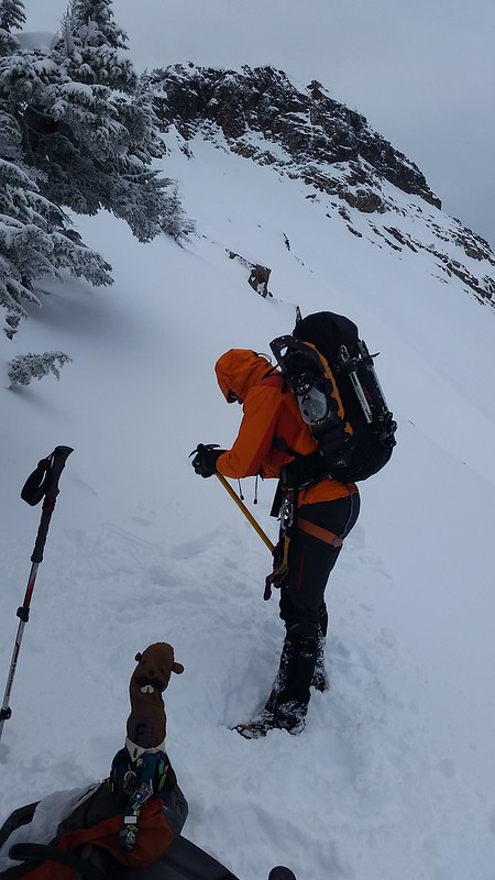
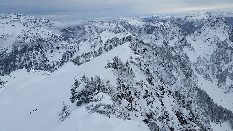
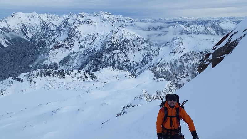
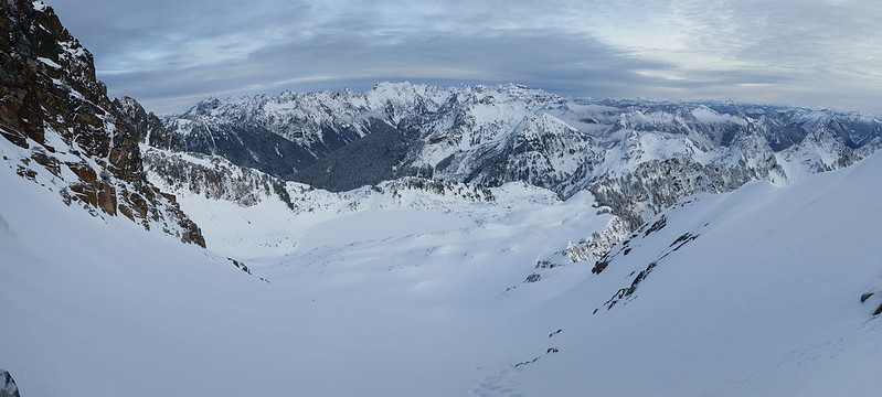
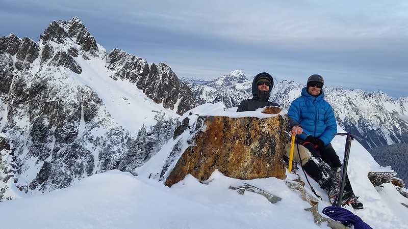
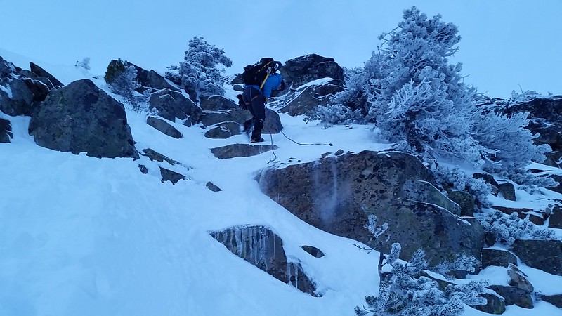
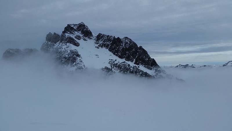
The west side of the ridge was super steep near the top. As we traded snowshoes and poles for crampons and ice axes the clouds surrounding us dissipated, and the Cascades appeared. With renewed energy we kicked up to the summit block then carefully scrambled the last 40 feet of rock and loose snow. The wind was mild, so we took tons of pictures and enjoyed a lengthy summit stay.

20150103_134624
20150103_134638 20150103_134647
20150103_134912
20150103_134729 20150103_135207
20150103_135712 20150103_142328
20150103_143104
20150103_143109 20150103_143124
20150103_150138 20150103_150827
20150103_152146
20150103_152248 20150103_152636
20150103_15513020150103_162040

We rapped down to the snow and made a long glissade into Gothic Basin before pulling the snowshoes back out. All of the hard work we put in on the ascent payed off - in just over 3 hours we descended what had taken us nearly 11 hours to climb. Someone decided to break the register box and tear down some postings at the Gothic Basin Trailhead. Brilliant.
20150103_212353

10.5 miles round trip 5000' elevation gain 15 hours trailer to trailer
Wednesday, July 30, 2014

2014-7-26 Sloan Peak


View 2014-7-26 Sloan Peak in a larger map


So I plan on filling in the missing reports from the last few months when I can find the time, but I can't wait to post about this last climb . I joined the rest of the Tacoma Mountaineers group at the Sloan Peak climbing trailhead along Road 49 late Friday night and slept in the truck. We were on the trail by 5:10 am. The first few creek crossings were minor, but the last one proved a fair obstacle. The long tree across the creek was somewhat twisted and pretty slick, so we butt-scooted slowly across one-by-one. All was going well until the final person to cross slipped and rolled under the log. Somehow Raphi was able to hold on and with a little help from Tim righted himself atop the log and made it across dry!


20140726_063334 20140726_080040 20140726_075732
20140726_081002


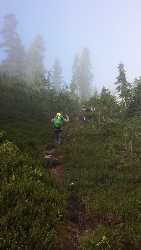
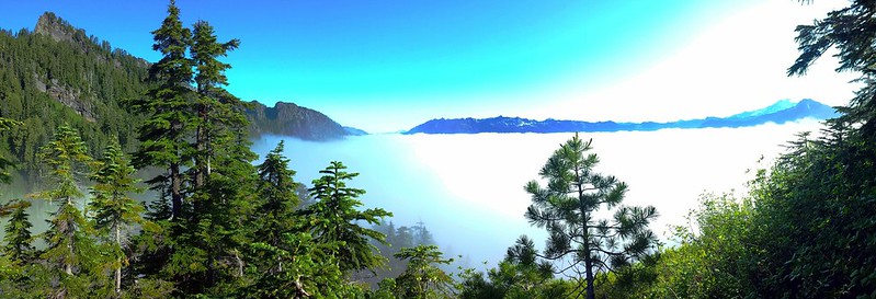
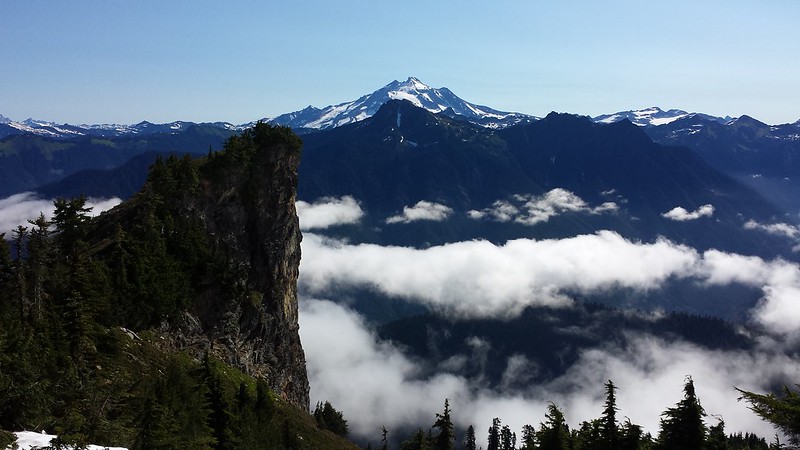
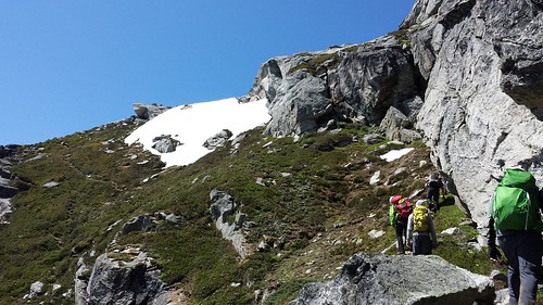
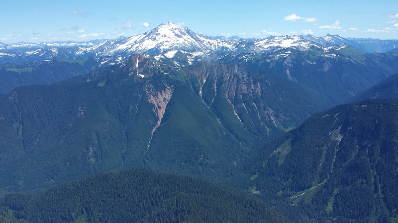
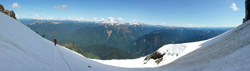
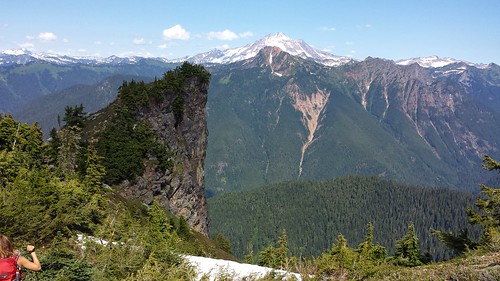
The trail was easy to follow despite thick brush covering much of it below 4000'. The summit ridge finally come into view and soon after we climbed above the clouds and took a rest on a narrow knob around 4200'. We continued along the well-worn bootpath and up the sharp NE ridge, crossing a few small snowfields along the way. Glacier Peak was closer than I have ever seen it, adding detail to the massive namesakes covering it's slopes.


20140726_081019 20140726_090034 20140726_092332
20140726_092642 20140726_092816
20140726_093539


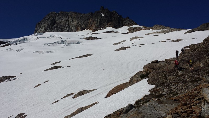
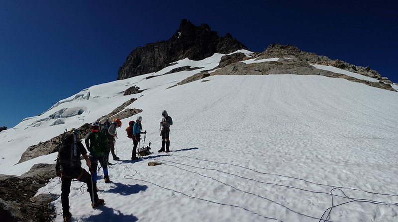
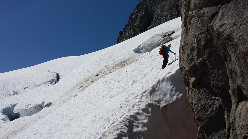
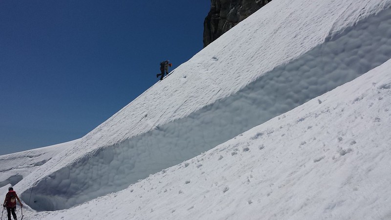
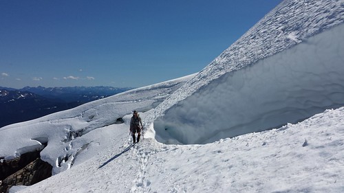
As we climbed I watched Mount Pugh and then White Chuck appear over the shoulder of Bedal Peak behind us. Before long Sloan Glacier appeared below the summit massif and the bootpath faded into rock and snow. Tim mentioned that there were far more open crevasses and exposed rock than when he had climbed Sloan earlier in the season last year. The ropes came out and we sectioned them off and tied in, checking each others set-ups before stretching out onto the glacier. We navigated around a few small crevasses and Tim set pickets in two spots with some significant exposure for a running belay.


20140726_102631 20140726_103013
20140726_105156 20140726_112446


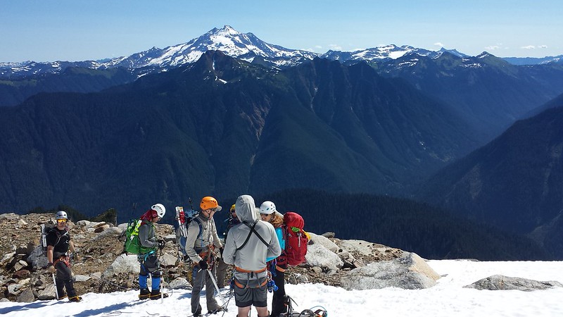
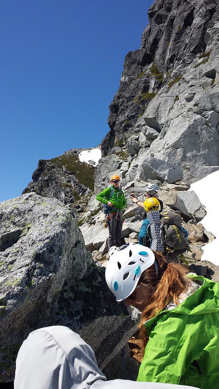
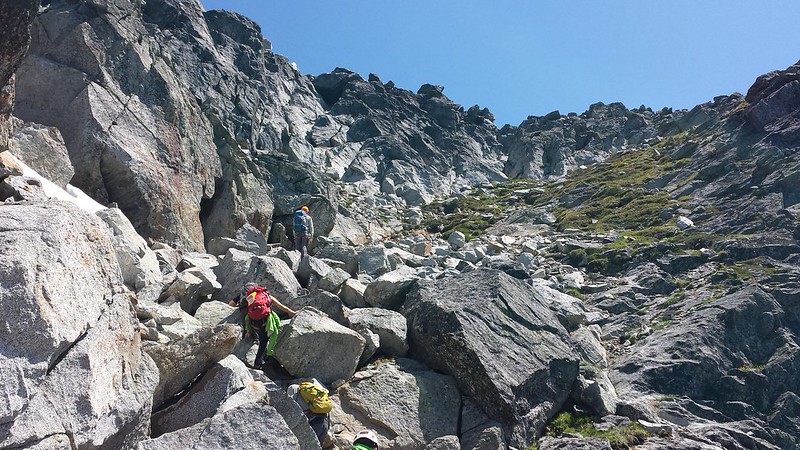
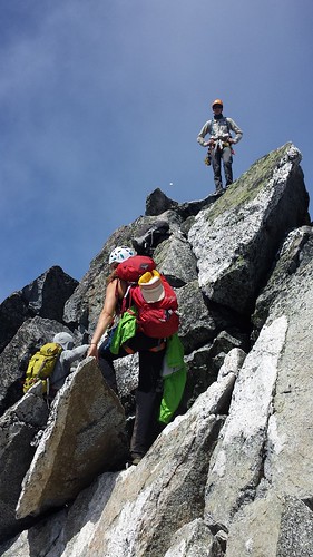
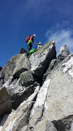
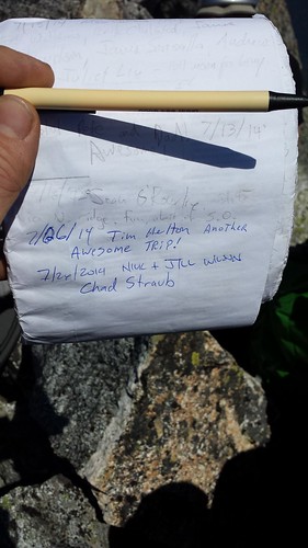
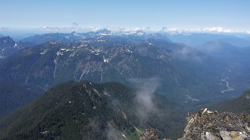
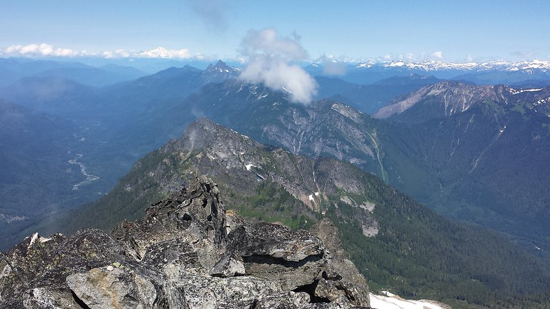
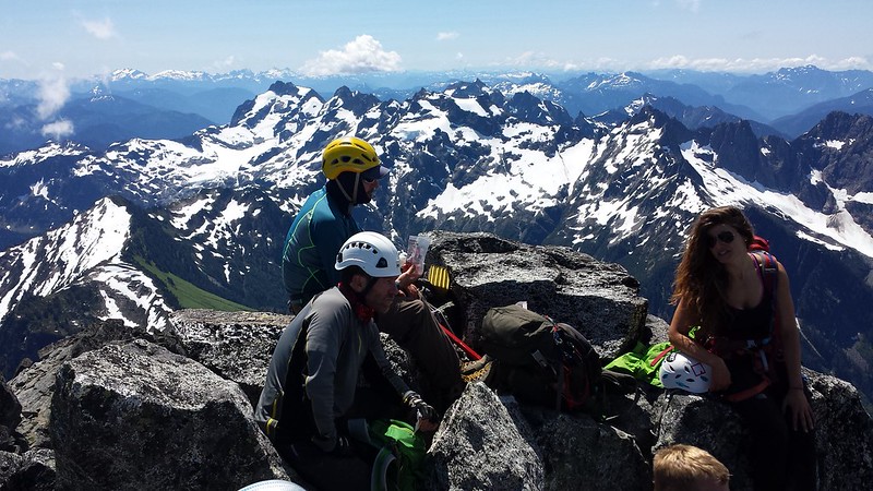
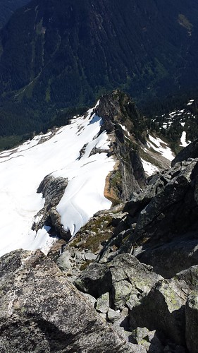
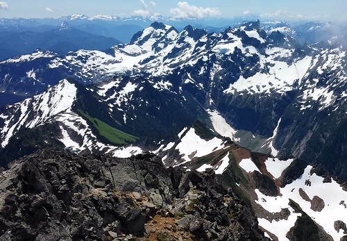
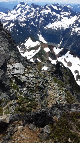
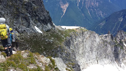
My serious roped glacier travel was great fun but ended all too soon as where the bootpath continues on the other side. We dropped our harnesses and winded up the path past some extreme exposure. The last 200 feet included some fun scrambling on mostly solid rock. We took our time in a few places to avoid knocking rocks down. The summit had just enough room for the seven of us to share snacks and pass around the register. Views from the top were stellar in all directions!


20140726_115454 20140726_120137
20140726_122514(0)
20140726_123516 20140726_123657 20140726_123952
20140726_124818 20140726_124824 20140726_124833
20140726_124840
20140726_124931


We carefully descended to the glacier, and retraced our steps. After packing up ropes and harnesses we all enjoyed a few glissades before final 4 mile trek back to the cars. Just below the narrow knob, we passed a group of 4 on their way up, one of whom I would later learn was Bob Bolton. We reached the trailhead after just over 13 hours, then hightailed it into Granite Falls for some much deserved Mexican Food.


20140726_124846 20140726_125440
20140726_131602 20140726_133318
20140726_140419
20140726_142422 20140726_152235(0)


13 miles round trip 5900' elevation gain