Where I've Been


View Jeb's Journeys in a larger map

Wednesday, July 30, 2014

2014-7-26 Sloan Peak


View 2014-7-26 Sloan Peak in a larger map


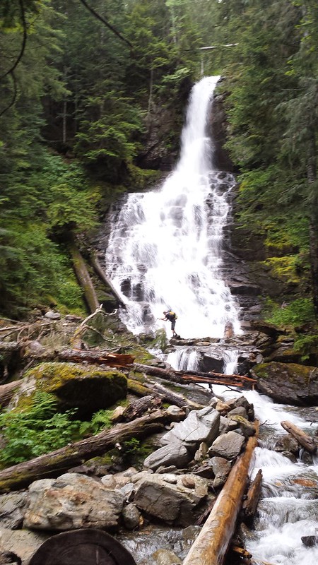
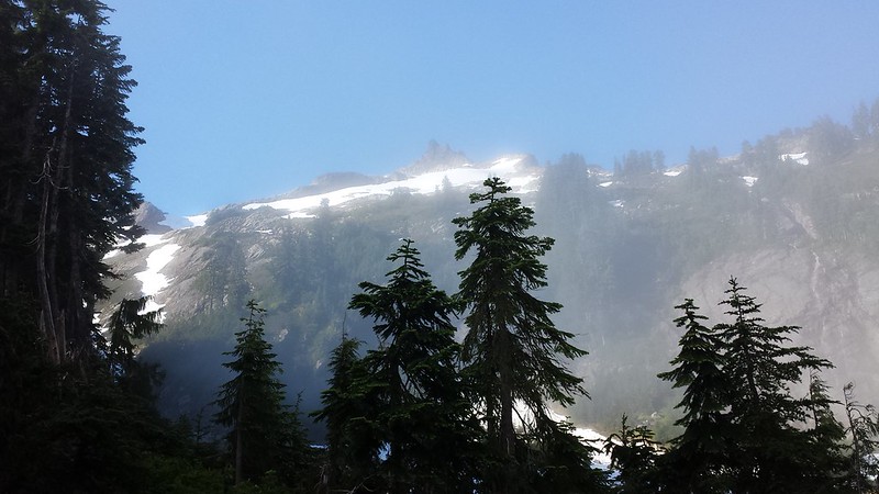
So I plan on filling in the missing reports from the last few months when I can find the time, but I can't wait to post about this last climb . I joined the rest of the Tacoma Mountaineers group at the Sloan Peak climbing trailhead along Road 49 late Friday night and slept in the truck. We were on the trail by 5:10 am. The first few creek crossings were minor, but the last one proved a fair obstacle. The long tree across the creek was somewhat twisted and pretty slick, so we butt-scooted slowly across one-by-one. All was going well until the final person to cross slipped and rolled under the log. Somehow Raphi was able to hold on and with a little help from Tim righted himself atop the log and made it across dry!
20140726_063334 20140726_080040 20140726_075732
20140726_081002


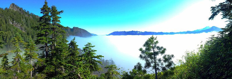
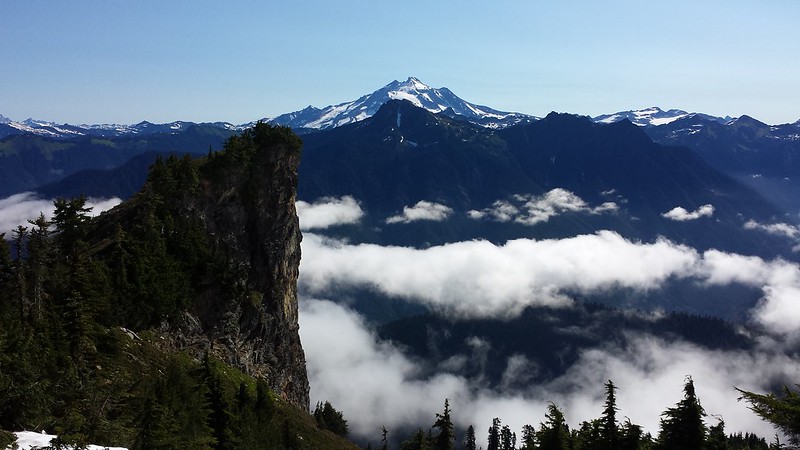
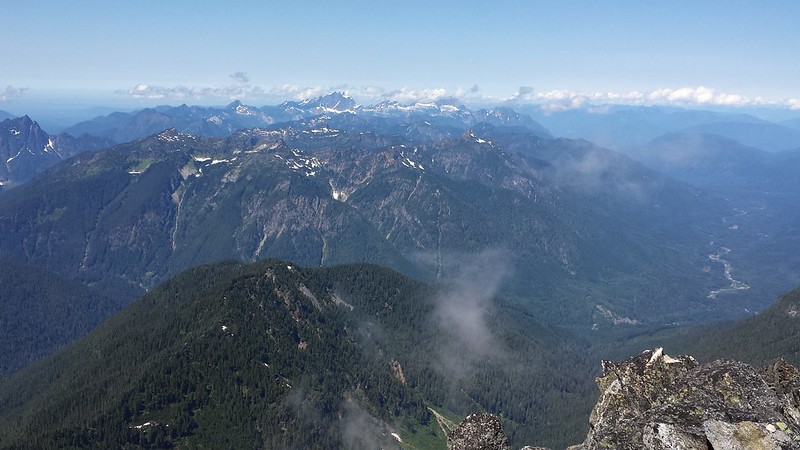
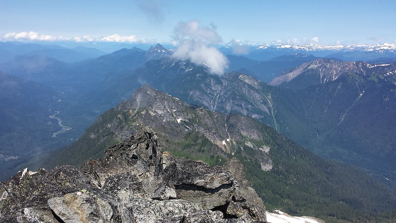
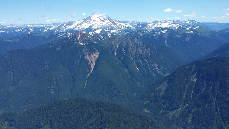
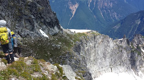
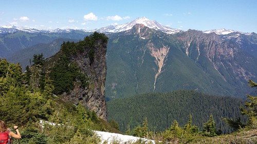
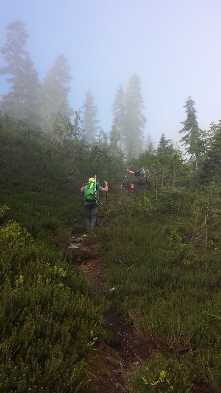
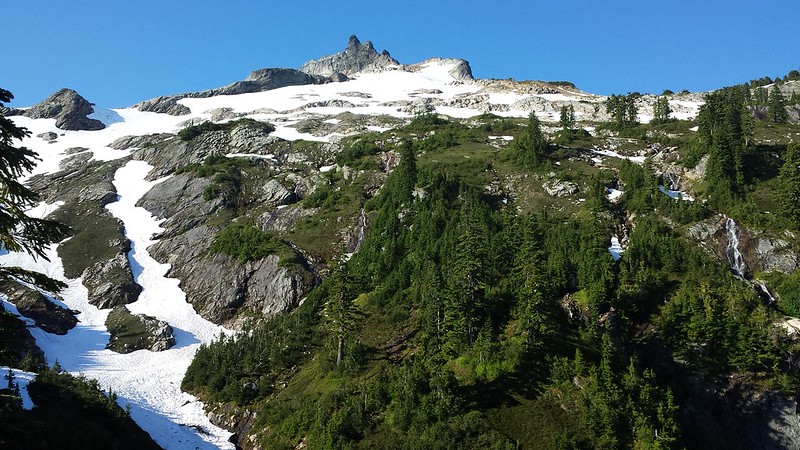
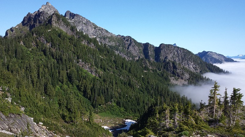
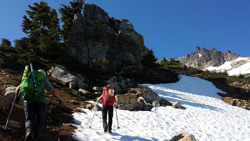
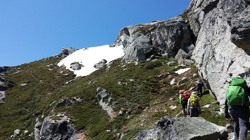
The trail was easy to follow despite thick brush covering much of it below 4000'. The summit ridge finally come into view and soon after we climbed above the clouds and took a rest on a narrow knob around 4200'. We continued along the well-worn bootpath and up the sharp NE ridge, crossing a few small snowfields along the way. Glacier Peak was closer than I have ever seen it, adding detail to the massive namesakes covering it's slopes.
20140726_081019 20140726_090034 20140726_092332
20140726_092642 20140726_092816
20140726_093539


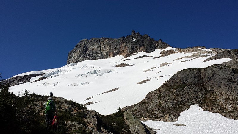
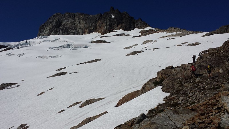
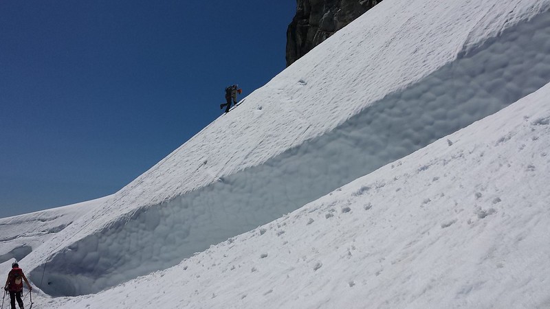
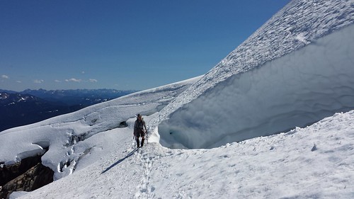
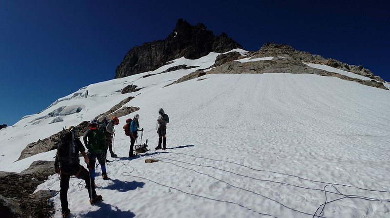
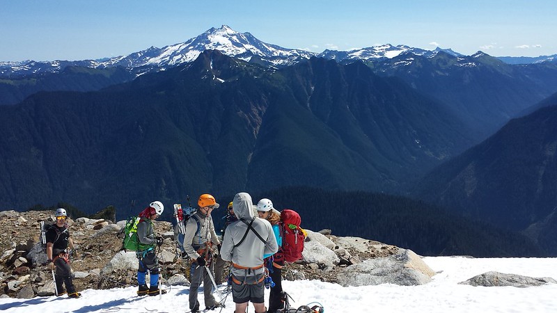
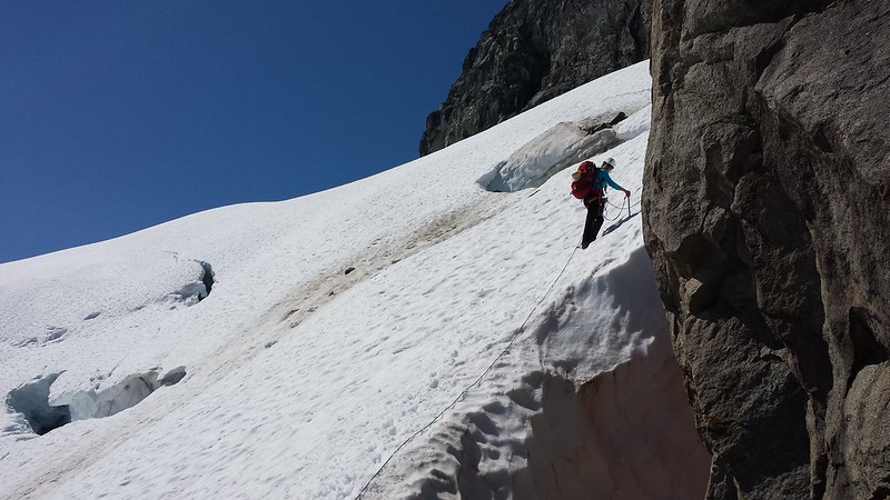
As we climbed I watched Mount Pugh and then White Chuck appear over the shoulder of Bedal Peak behind us. Before long Sloan Glacier appeared below the summit massif and the bootpath faded into rock and snow. Tim mentioned that there were far more open crevasses and exposed rock than when he had climbed Sloan earlier in the season last year. The ropes came out and we sectioned them off and tied in, checking each others set-ups before stretching out onto the glacier. We navigated around a few small crevasses and Tim set pickets in two spots with some significant exposure for a running belay.
20140726_102631 20140726_103013
20140726_105156 20140726_112446


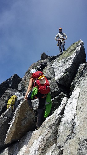
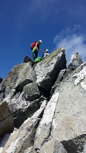
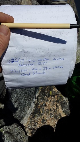
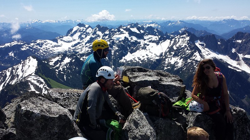
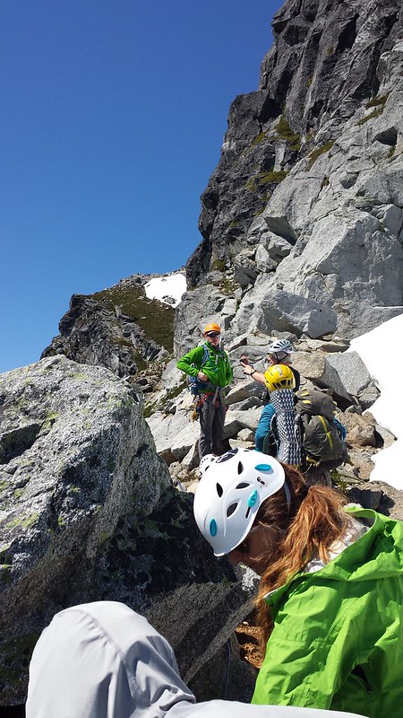
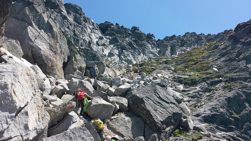
My serious roped glacier travel was great fun but ended all too soon as where the bootpath continues on the other side. We dropped our harnesses and winded up the path past some extreme exposure. The last 200 feet included some fun scrambling on mostly solid rock. We took our time in a few places to avoid knocking rocks down. The summit had just enough room for the seven of us to share snacks and pass around the register. Views from the top were stellar in all directions!
20140726_115454 20140726_120137
20140726_122514(0)
20140726_123516 20140726_123657 20140726_123952
20140726_124818 20140726_124824 20140726_124833
20140726_124840
20140726_124931


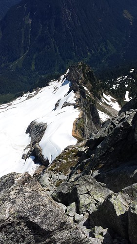
We carefully descended to the glacier, and retraced our steps. After packing up ropes and harnesses we all enjoyed a few glissades before final 4 mile trek back to the cars. Just below the narrow knob, we passed a group of 4 on their way up, one of whom I would later learn was Bob Bolton. We reached the trailhead after just over 13 hours, then hightailed it into Granite Falls for some much deserved Mexican Food.
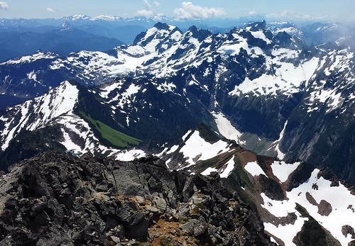
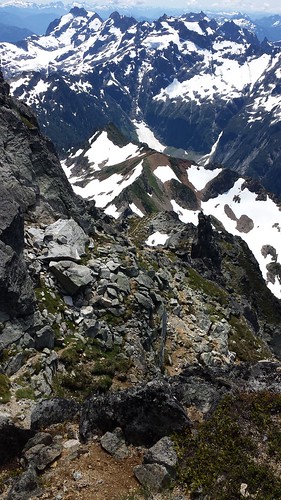
20140726_124846 20140726_125440
20140726_131602 20140726_133318
20140726_140419
20140726_142422 20140726_152235(0)


13 miles round trip 5900' elevation gain

2014-5-10 Arrowhead Mountain


View 2014-5-10 Arrowhead Mountain in a larger map


I originally planned to climb Basalt Peak North of Lake Wenatchee, but was stopped by snow on the road several miles from the trailhead. Arrowhead Mountain was my backup, but the pull off for the more popular route from the north was a bit sketchy, so I went in search of an alternative. The Whitepine Trailhead looked promising but crossing the creek did not, luckily I stumbled upon a unmarked campsite on a spur just north with a gated bridge over the Creek.

Besides some minor bushwhacking, route-finding was fairly simple between the abandoned road and some game trails. Soon enough I was ascending the East ridge of Arrowhead with the summit in sight. Some wildflowers appeared just before I hit snow around 4000'. Snowshoes weren't necessary, but I prefer to carry them on my feet rather than in the pack.

The summit was clouded in for my entire stay. I did get a brief look at the ridge to Jim Hill. Somewhere on the descent I lost a map and compass in a map bag.

6.5 miles 3800' elevation gain


2014-5-3 Alpine Lookout (Nason Ridge)


View 2014-5-3 Nason Ridge in a larger map


I am way behind on the blog so the description will be brief for this and the next few trip reports. Colin and I were hoping to hit Mount Howard and Mastiff but due to a less-than-ideal forecast and questionable snow conditions we played it safe and started from the east end of Nason Ridge. We decided that we could be content with reaching the lookout, and if time and conditions allowed we could continue on from there. Snow stopped the truck just before the trailhead. The trail was tough to make out but the route was obvious from the terrain and soon we were on the mostly open slopes of a big burn.

The summit of Round Mountain is devoid of views and very flat, needles to say we didn't hang around long. Along the ridge Colin noticed a man-sized hole in the snow with bare rock on the bottom, about 7 feet below the snow surface. We explored this mini "snow cave" on our descent. As we continued up, turbulent clouds slowly lifted from the surrounding peaks exposing Icicle Ridge and the Chiwaukum Mountains to the south.

Before long the lookout came into view across a saddle with quite a bit of exposed rock and some huge cornices. We found a few short sections of melted out trail along the ridge at and beyond the saddle. The door was locked, so we set up for a break on the porch out of the wind, and Maverick promptly began to nap. Before leaving we dropped down on the North side of the ridge to explore a little column of rock which a goat must call home. The sky around us remained mostly filled with turbulent clouds.

On the way out we jumped into the little snow cave, which Maverick wanted no part of. Then we broke off some big cornices, riding them a whole 10 feet down to the little runout below. As we began the final descent back into the large burn, The sun really started to come out, bringing with it double and triple rainbows.

~9 miles ~4000 ft elevation gain